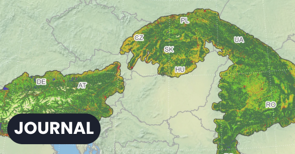
When Land-Cover Products Disagree: Combining Them Produces More Accurate Grassland Maps
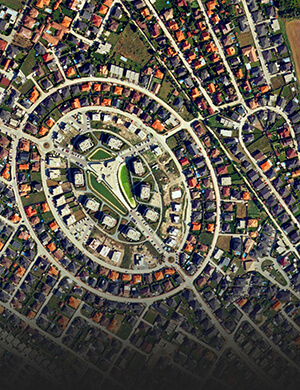
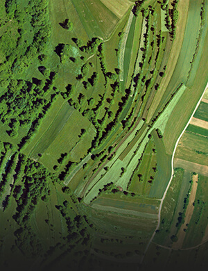
The same landscape can look completely different across satellite-derived land-cover products. Our colleagues compared six land-cover mapping products in the Alps and Carpathians and...
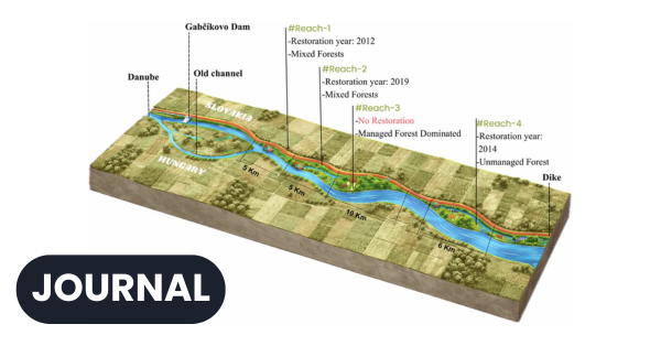
Forty years of satellite data show how the Danube’s floodplain forests are recovering
Floodplain forests along the Danube are facing changes in water regimes, human disturbances, and increasingly warm and dry conditions. An international research team led...
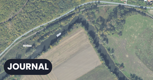
The Dynamics of River Divides in the Light of Modern Geomorphometry
We perceive river divides, which form the boundaries between catchment areas, as stable features of the landscape. However, over time scales ranging from thousands...
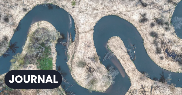
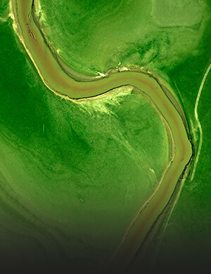
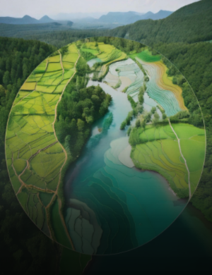
When we cut a river off from the countryside, we lose more than just water
River floodplains are a natural part of the landscape that retain water, provide habitat for biodiversity and help mitigate the effects of extreme weather....
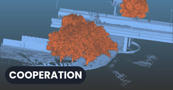
Research visit to the University of Oviedo and INDUROT
Our colleague Mgr. Miloš Rusnák, PhD. completed a research visit to the University of Oviedo as part of the COST INTUF project – European...

PhD. Thesis Defence – Marián Jančovič
On 28 August 2026, from 10.30 am, Mgr. Marián Jančovič will defend his doctoral thesis in the library of the Institute of Geography, Slovak...