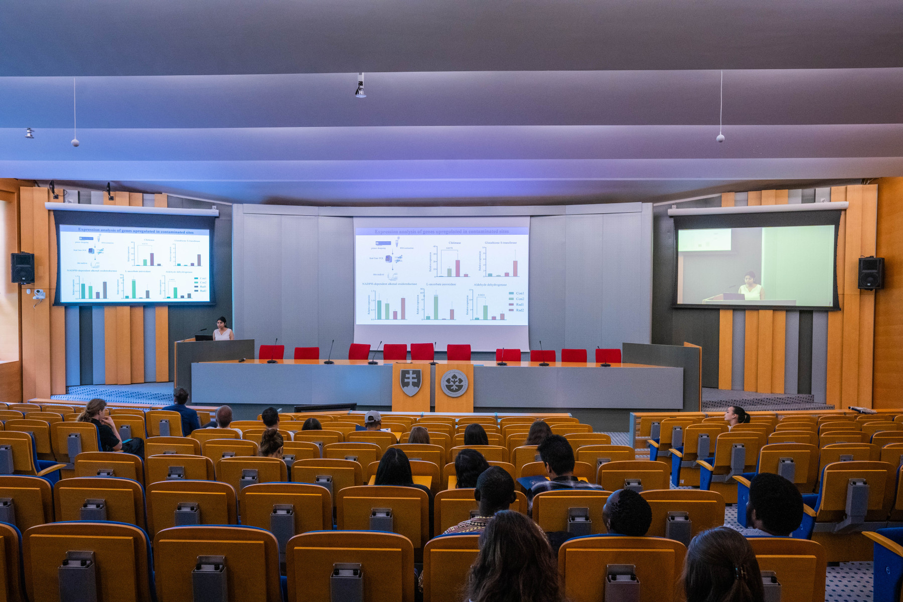
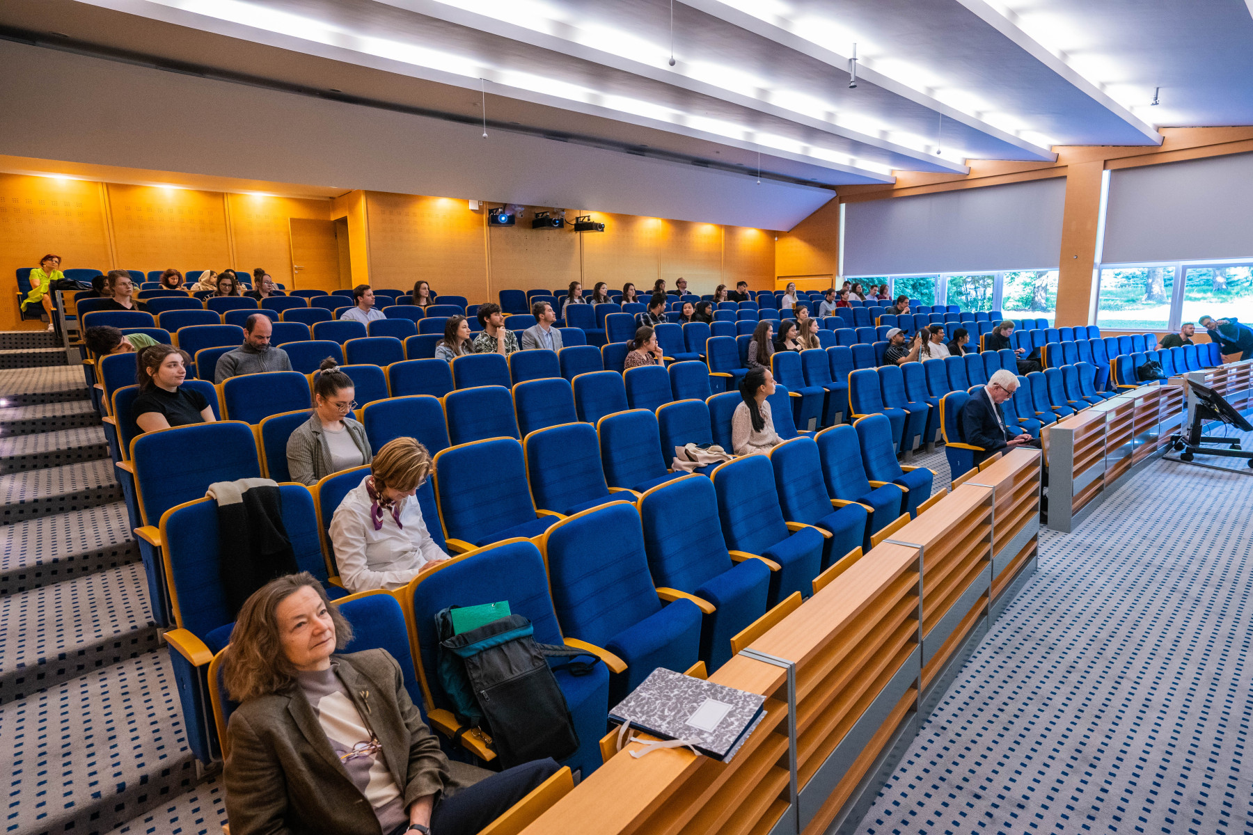
The President of the Slovak Academy of Sciences prof. RNDr. Pavol Šajgalík, DrSc. handed over diplomas to doctoral students who received the Doktogrant or the Certificate of Quality on Tuesday, April 9th, in the Aula of the Slovak Academy of Sciences in Bratislava during the Doctoral Seminar.
As pointed out by prof. Šajgalík, Doktogrant is an important programme supporting doctoral students’ scientific projects in institutes or centres of the Slovak Academy of Sciences. At the same time, he expressed his wish for doctoral students to continue their scientific work at the SAV.
For the Institute of Geography of the Slovak Academy of Sciences, MSc. Šimon Opravil and MSc. Hamid Afzali were awarded.
MSc. Šimon Opravil succeeded with a project called Combining Optical and SAR Satellite Data to Improve the Detection of Grassland Management Events
More details about the project
The European Union’s Common Agricultural Policy (CAP) and the Habitats Directive aim to enhance biodiversity within agricultural landscapes. Both policies necessitate substantial monitoring of factors affecting biodiversity, which can be facilitated by remote sensing technology. An essential measure of biodiversity in permanent grasslands is the management intensity, measured through frequency and timing of mowing and grazing. The frequency and timing of management activities can be effectively assessed using satellite remote sensing that observes sudden changes in photosynthetically active biomass in response to such activities. However, the rapid regrowth of grasses presents a challenge, requiring dense satellite time series for reliable management detection. To mitigate this issue, synthetic aperture radar (SAR) imagery can complement optical imagery. Therefore, this project aims to test a two-step methodology for identifying grassland management events by combining optical and SAR data. Initially, cloud-related gaps in optical time series will be filled using supervised machine learning regression, incorporating both optical and SAR data. Subsequently, time series sequences of optical and SAR data will be classified into managed and unmanaged categories using two machine learning algorithms. The project’s findings will contribute to the ongoing APVV and Biodiversa Plus projects to assess the presence of species-rich grasslands and monitor farming practices per the Common Agricultural Policy.
MSc. Hamid Afzali joined the call with a project entitled Using Artificial Intelligence for Monitoring Riparian Vegetation
More details about the project
The Riparian Zone includes the area between the flood plain and the river’s shoreline, which provides extraordinary sustainable conditions for fauna and flora in the river’s environment. Monitoring vegetation zones for sustainable biodiversity and productivity requires a comprehensive and adaptive approach to ensure a feasible balance between ecological processes, species interactions, and environmental factors. While traditional methods for monitoring riparian zones offer valuable insights, modern technologies like satellite imagery, remote sensing, and AI-driven analysis can complement and enhance them. These technologies address many of the limitations of traditional methods by providing broader spatial coverage, higher temporal resolution, and automated data processing, leading to a more comprehensive and accurate understanding of vegetation dynamics and ecosystem health. The main aims of study include the automatic classification of satellite and aerial images by utilising AI technology, which contributes to monitoring vegetation biodiversity and productivity, identifying vegetation response to succession and human impact, and explaining the effect of environmental parameters on vegetation dynamics
More information can be found on the SAS website (SK only).
Photo: Martin Bystriansky


