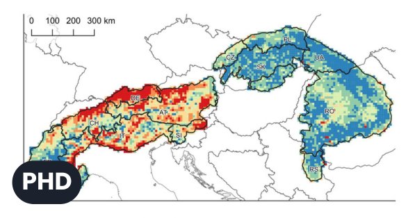
PhD. Thesis Defence – Šimon Opravil
On June 24, 2026, at 1:00 p.m., Mgr. Šimon Opravil will defend his PhD thesis in the library of the Institute of Geography, Slovak...

International Conference on Urban Greenery in Antalya, Turkey
From April 27 to 30, 2026, the annual meeting of COST Action CA23148 – European Network for the Integrative Approach of Urban Forestry (INTUF)...
Slovakia is part of EHRI-ERIC
The National Platform for Cooperation with EHRI in Slovakia (EHRI-SK) serves as the Slovak national node of the European research infrastructure EHRI-ERIC (European Holocaust...
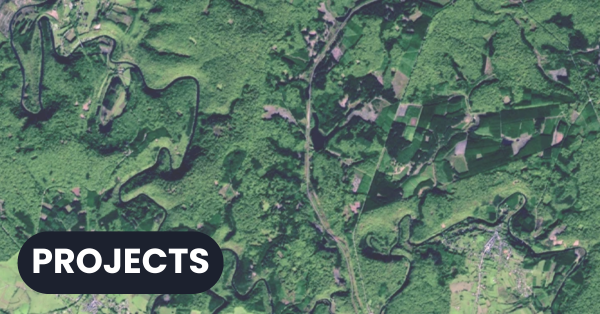
Workshop of the SenseForest Project (Biodiversa+)
From April 13 to 16, our colleagues participated in a workshop for the international project Biodiversa+ Remote Sensing for Forest Habitat Monitoring (SenseForest pilot),...
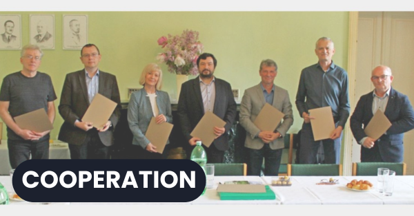
Platform BIO‑DIVERSE has been established to advance biodiversity research
The signing of a memorandum of cooperation at the Arboretum Mlyňany of the Slovak Academy of Sciences on 16 April 2026 marked a significant...

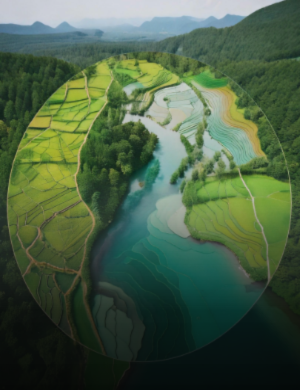
Doctoral studies 2026/2027
We present a wide range of research topics that reflect the Institute of Geography's diverse geographical research.