Scientists of the Slovak Academy of Sciences, in cooperation with the Department of Theoretical Geodesy and Geoinformatics of the Faculty of Civil Engineering of Slovak University of Technology and the Soil Science and Conservation Research Institute of National Agricultural and Food Center have successfully completed the project “LAnd cover change monitoring for identification of Potential Illegal Activities in Slovakia (LAPIA)” supported by the European Space Agency (within the sixth ESA Top-Down Call).
The project represented the first step in identifying potentially illegal activities in the landscape based on Earth observation data in Slovakia. The Institute of Geography of the Slovak Academy of Sciences (as contractor), together with the Department of Theoretical Geodesy and Geoinformatics of the Faculty of Civil Engineering of the Slovak University of Technology and the Soil Science and Conservation Research Institute of National Agricultural and Food Center (as subcontractors) participated in the project.
Human impact on landscape causes categorical changes in its use called land use/land cover changes (LU/LCC). As such changes may influence the condition of the landscape, it is important to determine where and to what extent they take place. Legal changes in landscape involve planning and recording in the Land Register or other databases. However, the landscape is ever more frequently attacked by illegal human interventions, and their tracking may be difficult because of remoteness, difficult access, etc.
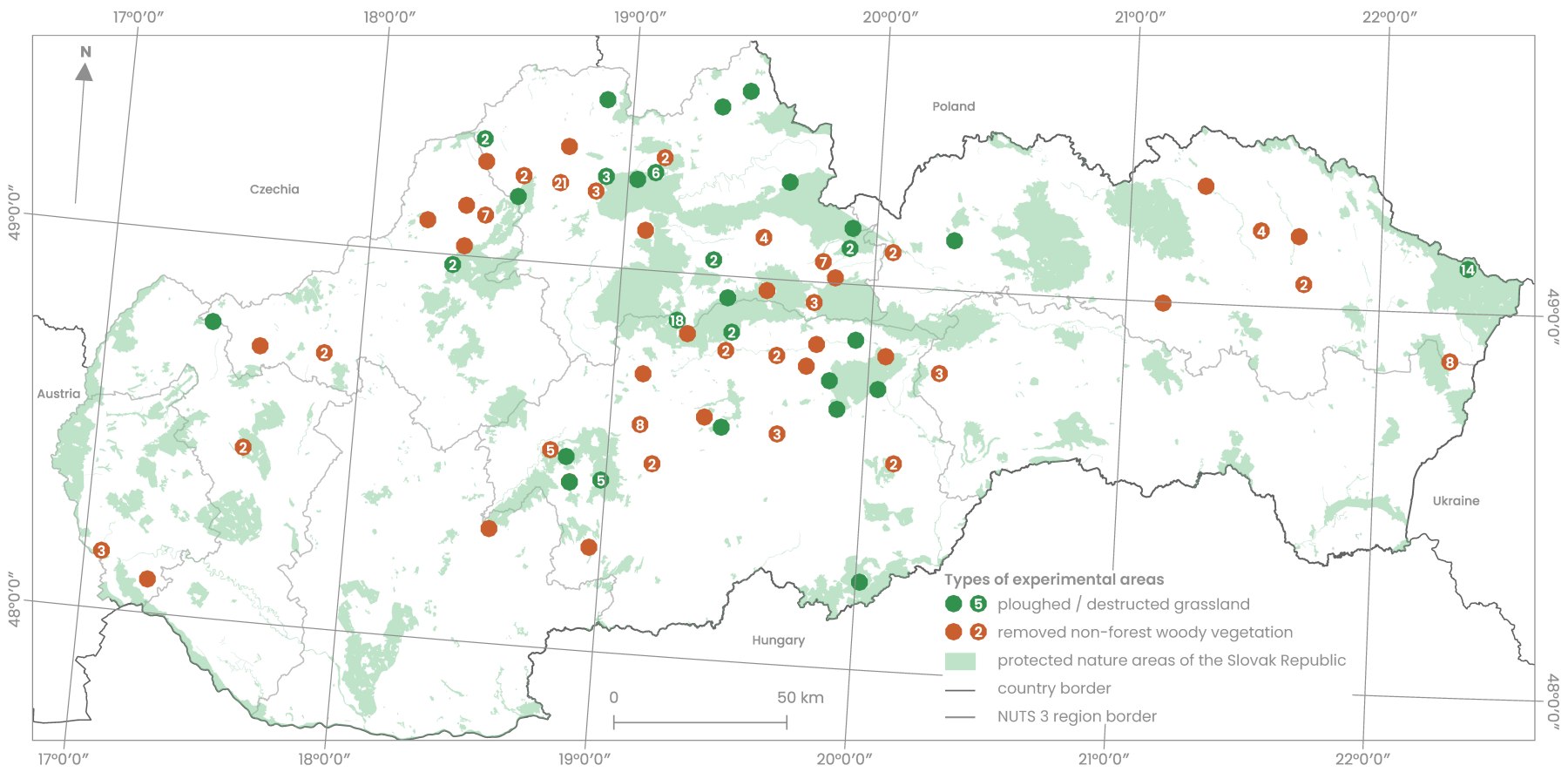
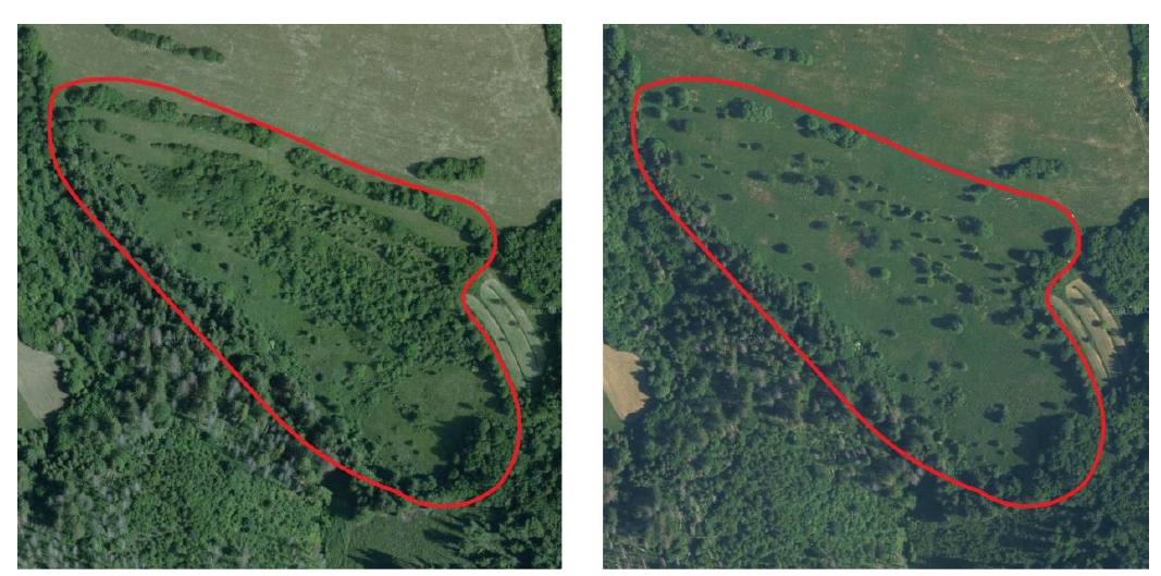
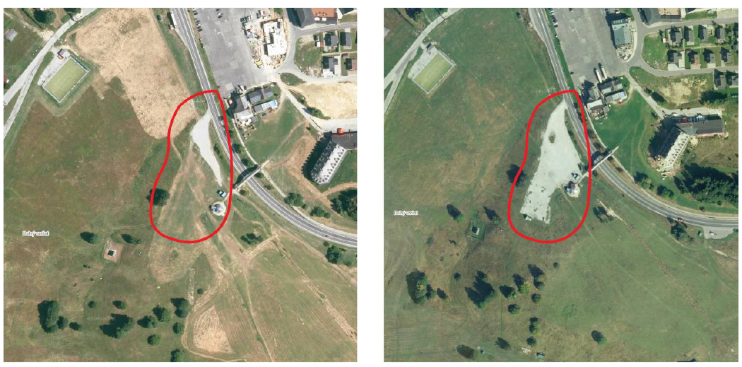
The LAPIA project aimed to design innovative approaches for monitoring illegal landscape changes based on EO data, particularly the Sentinel-1 and Sentinel-2 satellite imagery and airborne laser scanning data. This approach is intended to help environmental inspectors detect illegal activities in the landscape: ploughing and devastation of protected grasslands, removal of non-forest woody vegetation in agricultural landscapes, and illegal expansion of closed and rehabilitated dump sites.
The reaction of the potential user – the Slovak Environmental Inspectorate – to the results obtained in the context of this project shows that the updated masks of protected grasslands and non-forest woody vegetation in agricultural landscapes are a suitable input to the process of identifying the occurrence of illegal activities by using EO data. Identifying the manifestation of ploughed and devastated grasslands (with a spatial resolution of 10 × 10 m) and the removal of non-forest woody vegetation in agricultural landscapes (with a spatial resolution of 5 × 20 m) is beneficial. Still, they recommend further testing of the EO data with a higher spatial resolution. They consider the finding that the NDVI index can be used to determine the period of occurrence of change (e.g. in days) caused by illegal activity within protected grassland and non-forest woody vegetation to be a benefit of the project design. So far, only indicative witness statements have been used.
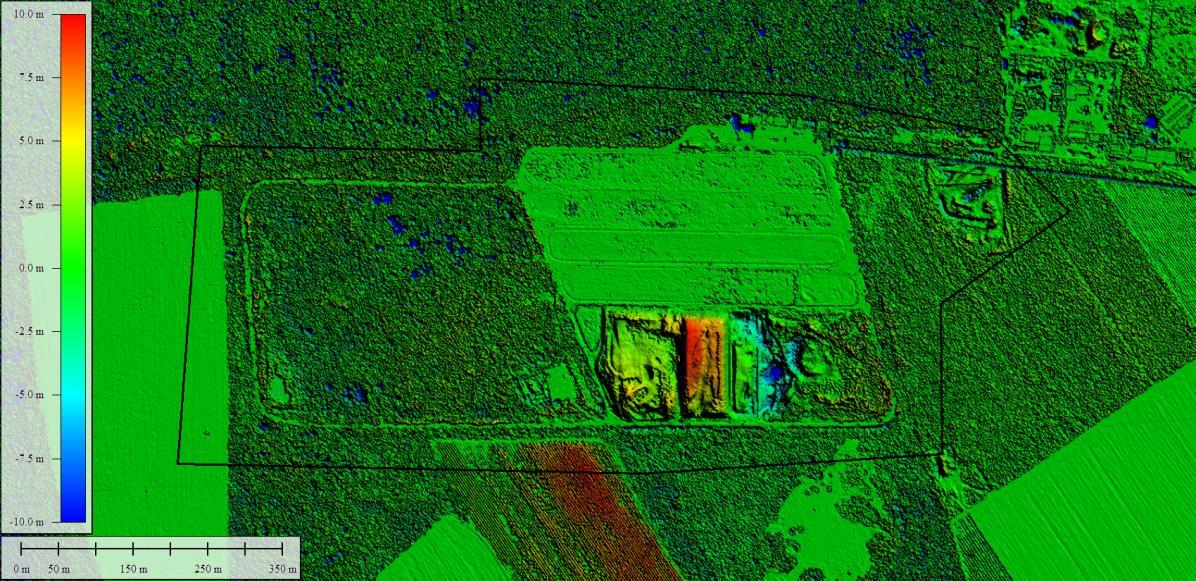
Identifying the magnification of closed rehabilitated dump sites by illegal operations using Sentinel-1 data is limited by the spatial resolution of these images of 10-15 m. Similarly, the use of Sentinel-2 data (with a spatial resolution of 10 × 10 m) is considered insufficient in this context. On the other hand, airborne laser scanning data provide more accurate information not only on positional but also on volumetric changes of dump sites, demonstrating their high monitoring potential. Despite its undeniable advantages, a limited scanning frequency has to be considered, which may negatively affect the monitoring of changes.
The project results, in relation to the potential user, suggest that future work will need to focus on testing high-resolution satellite data and developing an automated LU/LCC monitoring system. However, continuing to develop this approach requires, among other things, securing sufficient funding for up-to-date high-resolution satellite data.
Text: Ján Feranec, Daniel Szatmári, Tomáš Goga, Šimon Opravil | original text published at SAS website


