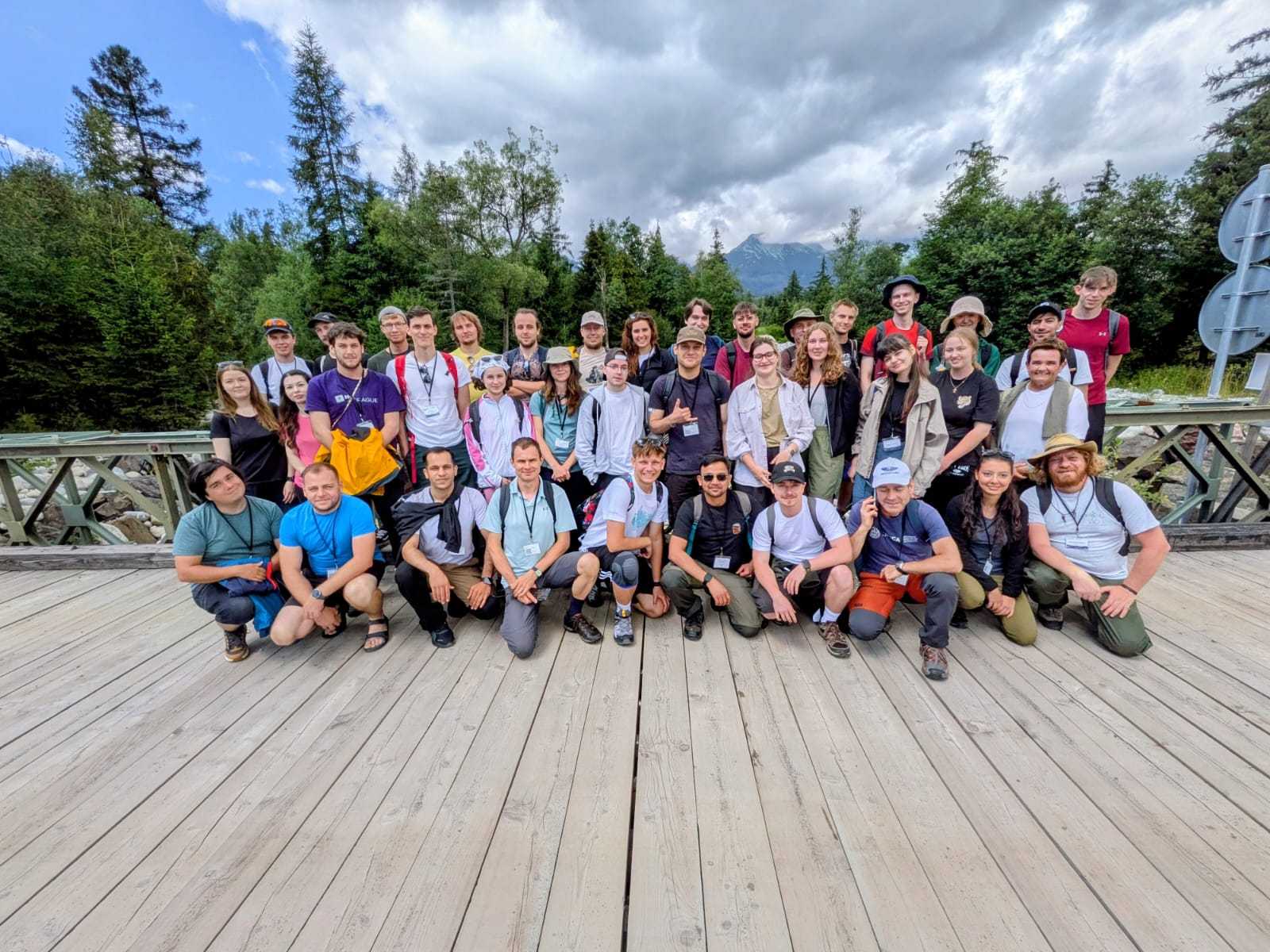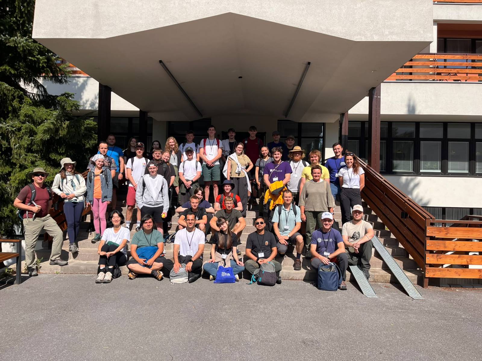




From July 19 to 24, 2026, the International Remote Sensing Summer School 2026 (IRSSS 2026) took place in Stará Lesná in the High Tatras. The Institute of Geography of the Slovak Academy of Sciences (IG SAS) was one of the main partner institutions of this international educational event, which took place as an intensive combined Erasmus+ program.
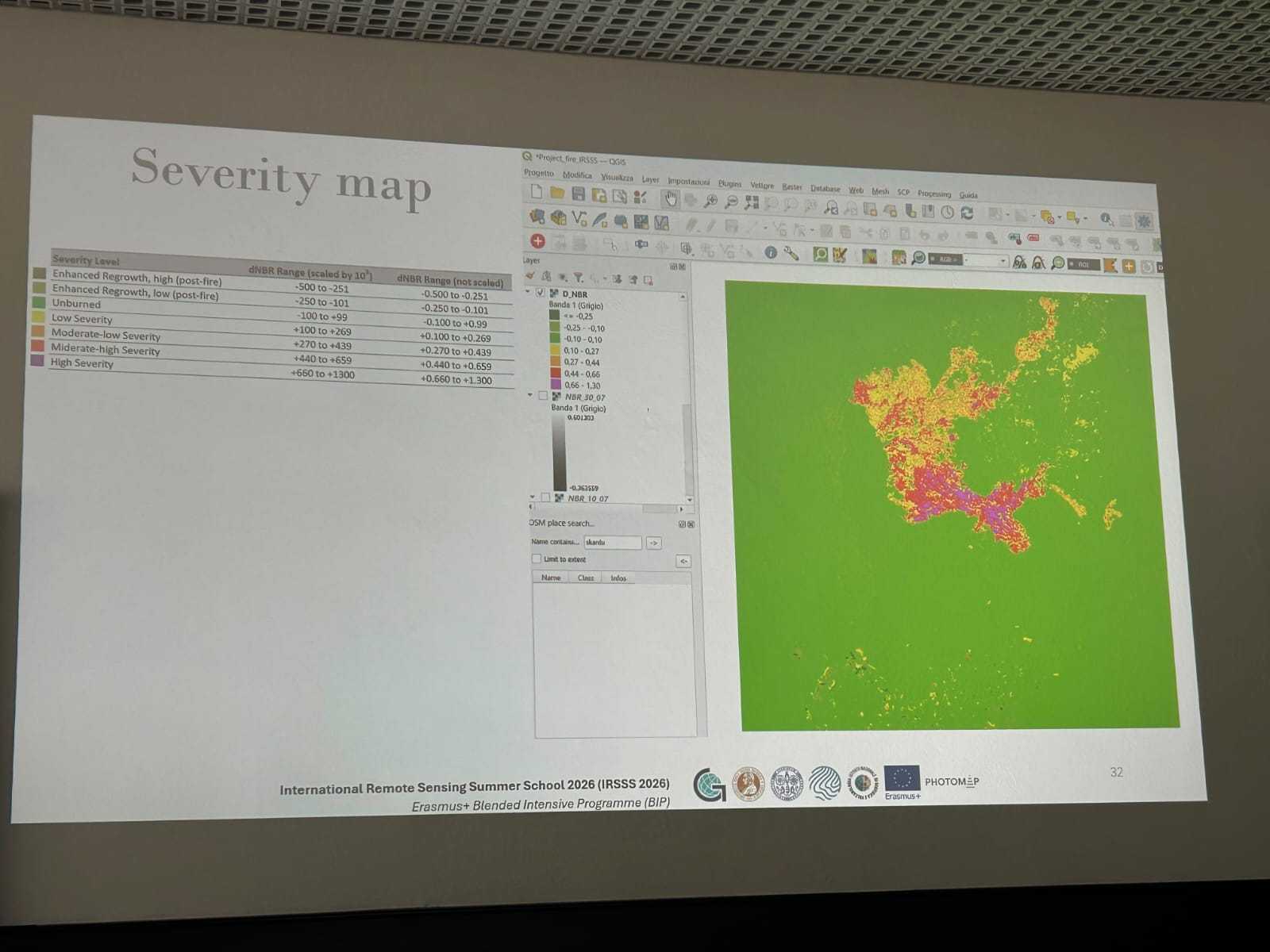
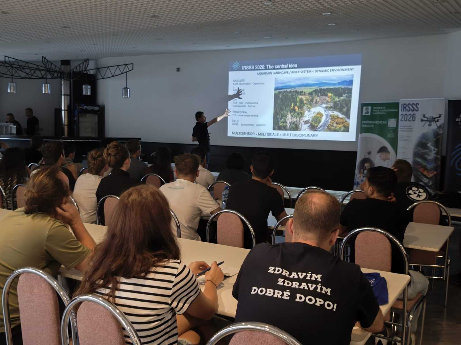
The summer school brought together students, researchers, and experts from universities and research institutions in several European countries. The main theme of the event was the dynamics of mountain river systems examined from a multisensor and multiscale perspective. The program combined field observations with modern Earth remote sensing technologies, including mapping using unmanned aerial vehicles, photogrammetry, laser scanning, geographic information systems, and satellite data analysis.
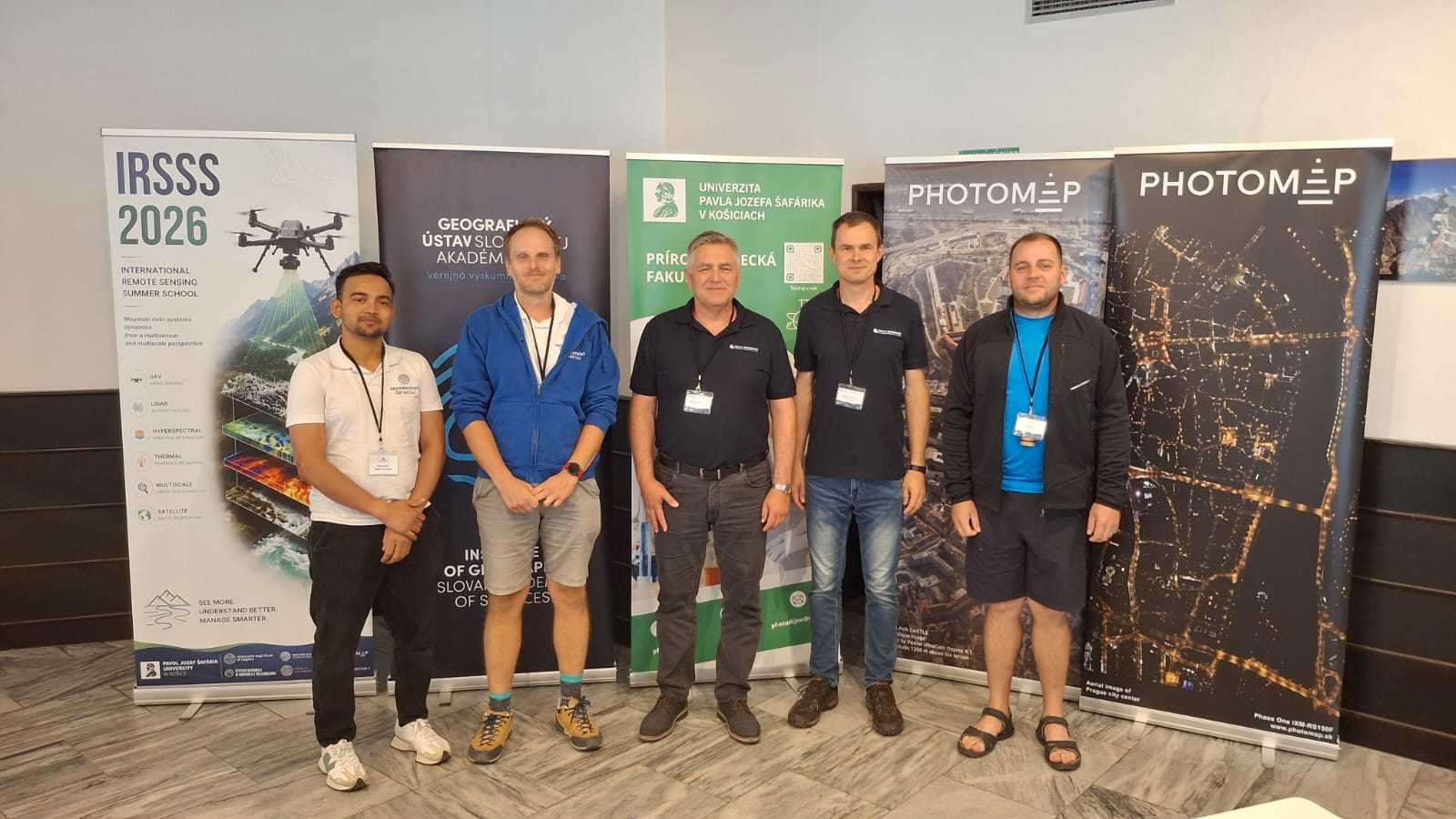
Miloš Rusnák led the team from the Institute of Geography of the Slovak Academy of Sciences throughout the program, sharing his expertise in fluvial geomorphology, river channel dynamics, mapping using unmanned aerial vehicles, and the photogrammetric method known as Structure-from-Motion (SfM).
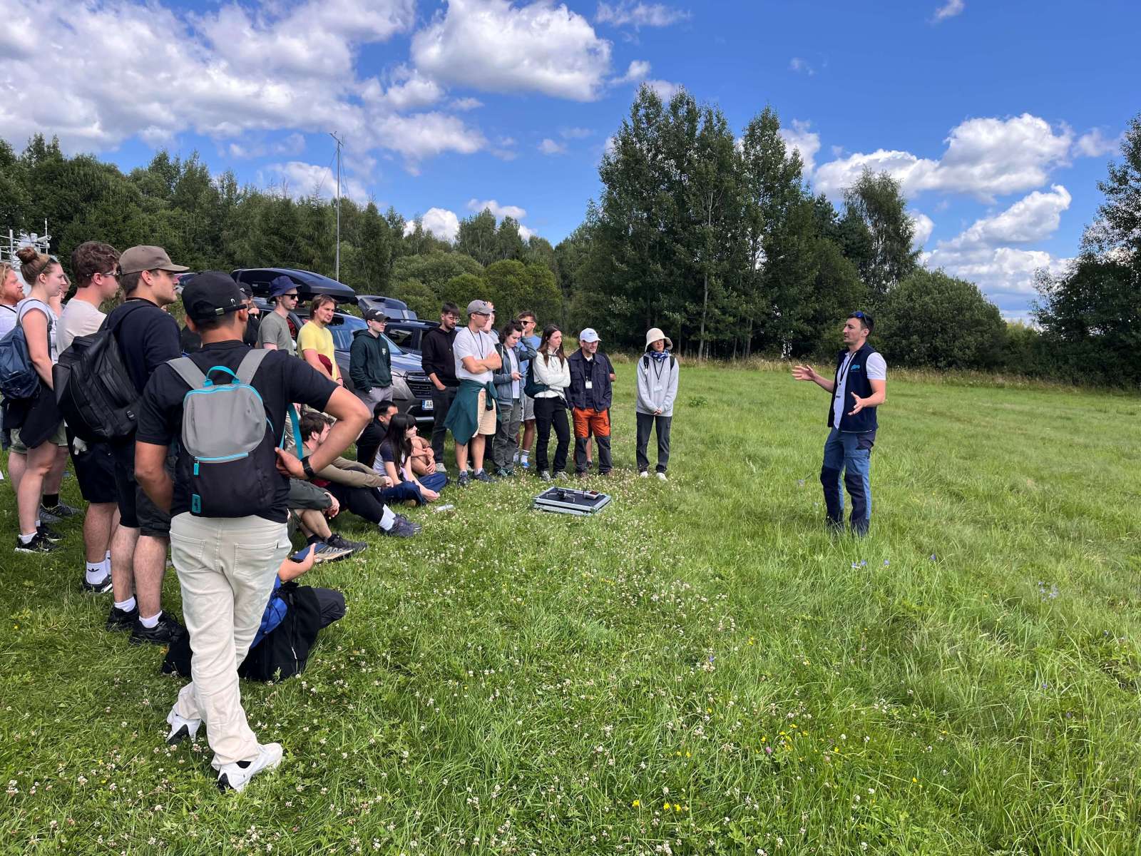
Together with Lukáš Michalej and doctoral students Hamid Afzali and Ashraf MD, the institute’s team prepared a series of specialized lectures, field demonstrations, and practical exercises focused on mountain river systems in the High Tatras. Participants learned about river channel morphology, geomorphological processes, sediment dynamics, and modern methods for acquiring and interpreting high-resolution spatial data.
The combination of specialized lectures, field measurements, and practical exercises enabled participants to better understand how geomorphological observations can be combined with the latest geoinformation technologies in environmental research and the monitoring of changes in the river landscape.
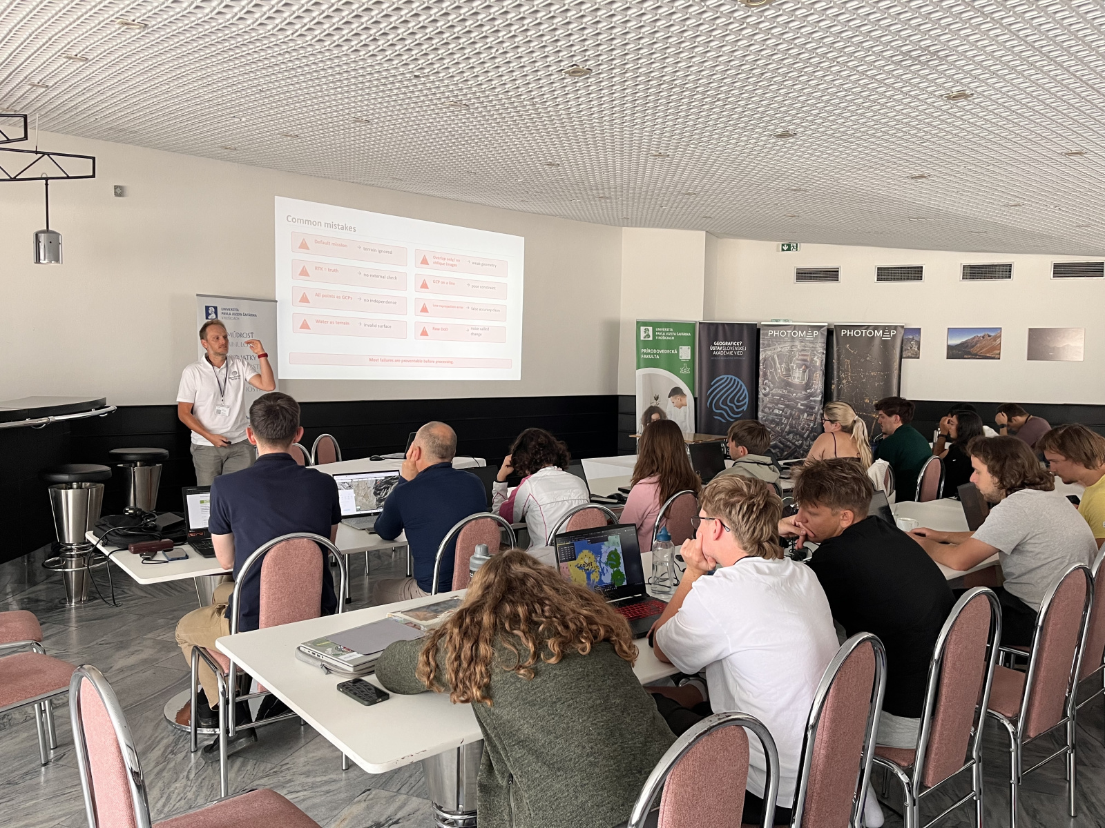
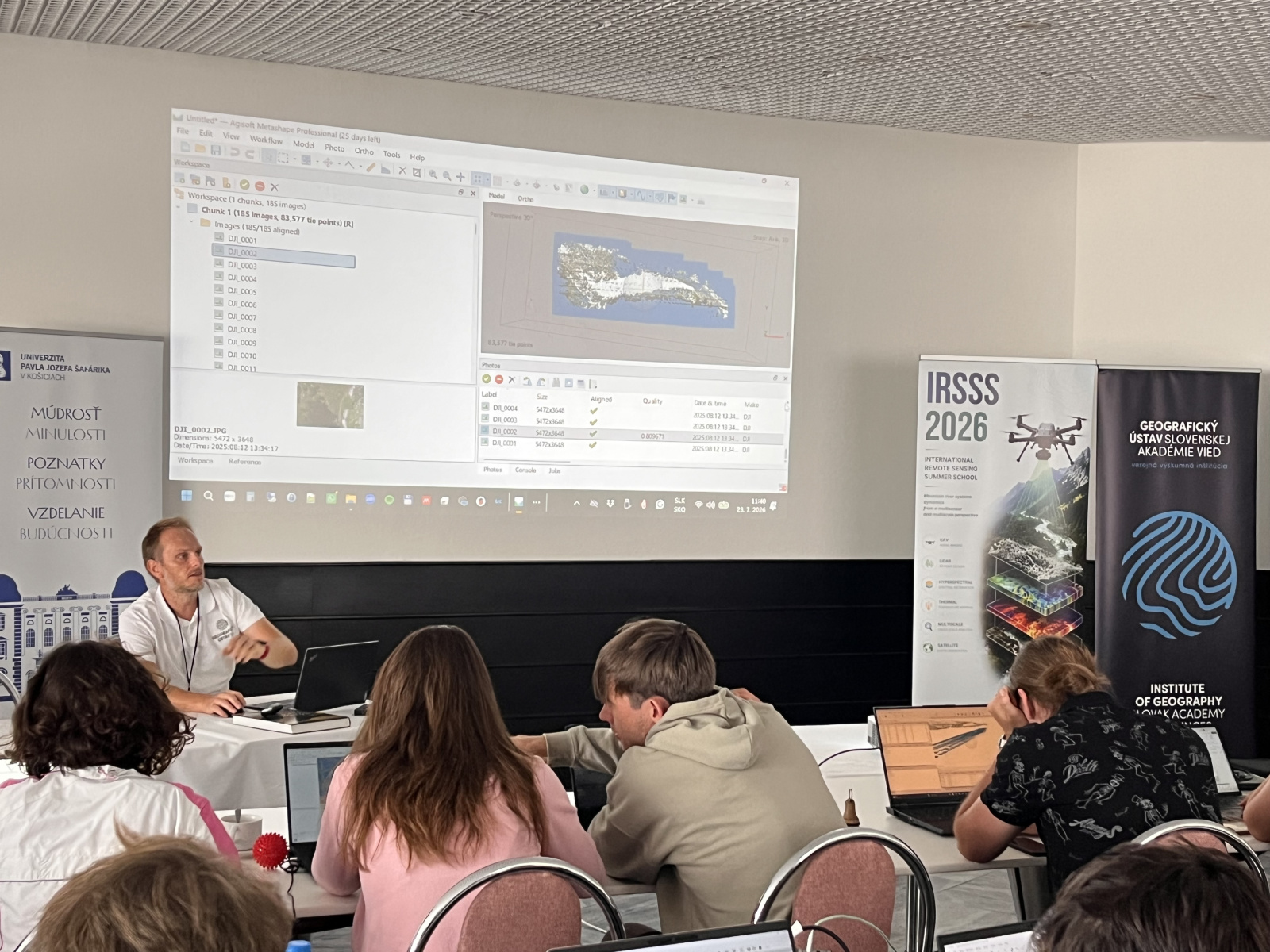
A key component of the presentation by the Institute of Geography of the Slovak Academy of Sciences was a technical session devoted to Structure-from-Motion photogrammetry based on data acquired using unmanned aerial vehicles. Participants went through the entire workflow, from flight planning and image acquisition, through the design and measurement of ground control points, to the creation of dense point clouds, digital terrain and surface models, orthophotomosaics, and the evaluation of the quality of the final products.
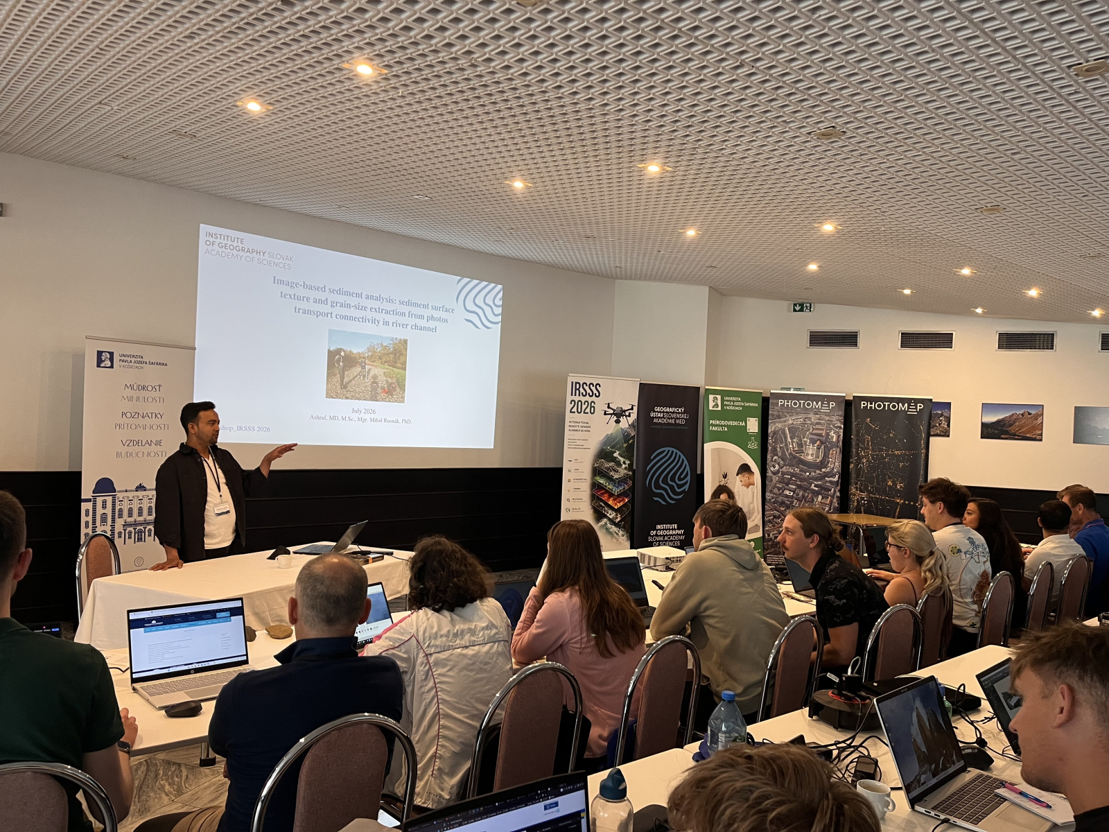
The practical exercises also included image analysis of river sediments. This allowed participants to see how data acquired using unmanned aerial vehicles can be used for mapping river corridors, assessing fluvial processes, and conducting environmental monitoring with high spatial accuracy.
The Institute of Geography of the Slovak Academy of Sciences’ significant scientific, educational, and practical involvement in the IRSSS 2026 program reaffirmed the institute’s professional standing in the fields of geomorphology, remote sensing, and geoinformatics. The event also contributed to the development of international cooperation, the exchange of experiences, and the building of professional capacity in the field of modern environmental monitoring.