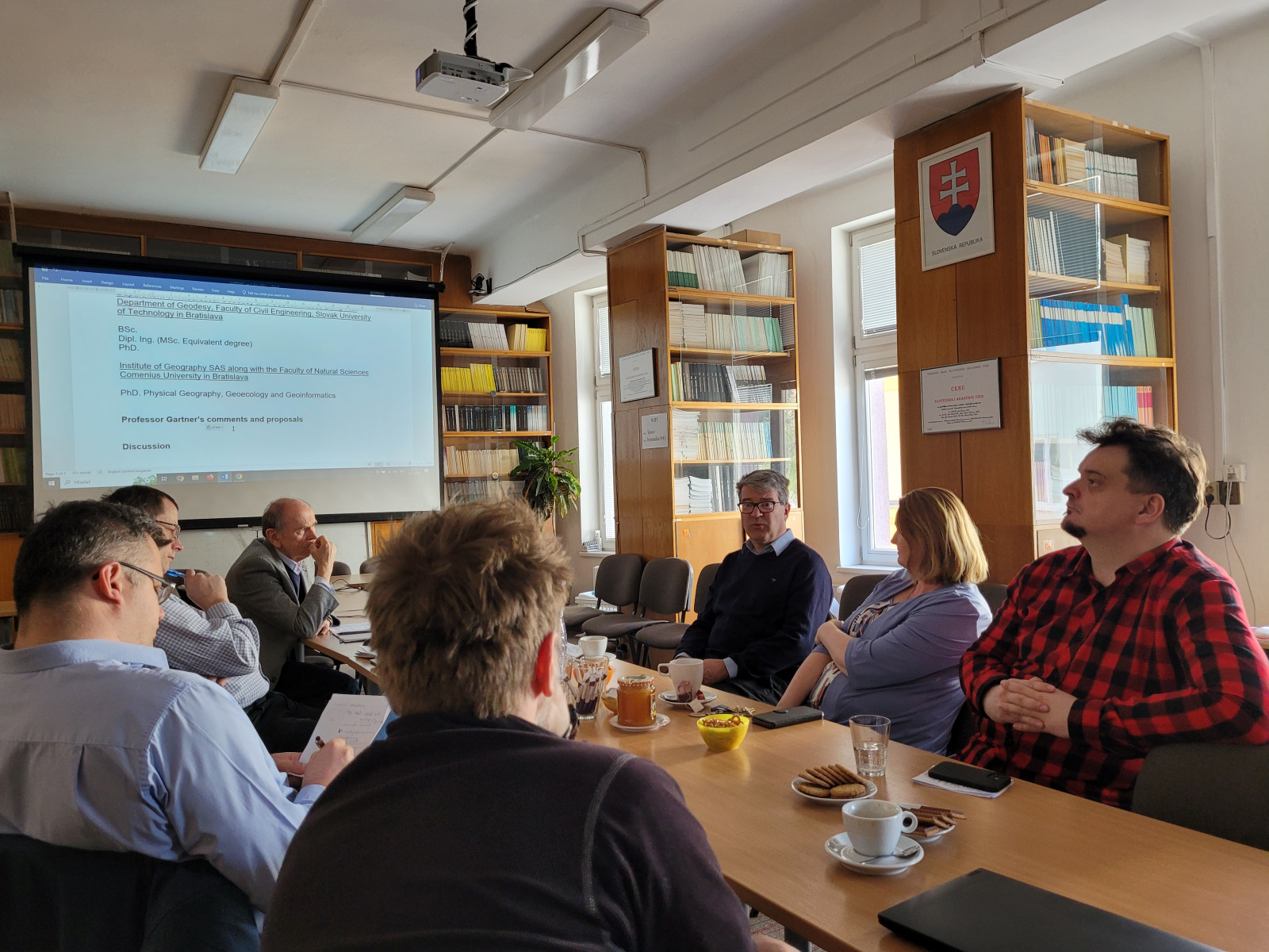
The introductory meeting concerning the prospects of international cooperation in cartography and geo-information science was held on Tuesday, 2nd of April 2024. It was attended by the representatives of the Institute of Geography of the Slovak Academy of Sciences, the Institute of Geography of the Faculty of Nature History of the University of Pavol Jozef Šafárik (UPJŠ) in Košice and Global Geodesy and Geo-Information Science of the Faculty of Civil Engineering of the Slovak University of Technology in Bratislava (STU). The special guest was the prominent representative of the world cartography, Prof. Georg Gartner, now the International Cartographic Association (ICA) President and the head of the Research Group for Cartography at the Technological University of Wien.
The idea to organize the meeting arose during the “Activities in Cartography” seminar on 24th November 2023 in Bratislava. Prof. Gartner observed in the meeting that Bratislava and Vienna are geographically close, but the cartographic and geographic communities are rather isolated. He proposed to organize a meeting dedicated to the discussion to seek options for possible cooperation.
It was Assoc. Prof. RNDr Ján Feranec, DrSc, assumed the task of organizing such a meeting. The main theme of the discussion was the presentation of projects of the three quoted Slovak centres with incorporated aspects of cartography and geo-information science (such as the generation and processing of special data, their visualization on maps or other graphic outputs, and the like). Prof. Gartner mentioned the themes that also resonate in a wider international context, with special emphasis on the use of artificial intelligence in cartography. This discussion was concluded by general agreement on the opening cooperation through topical project challenges where the possibilities of participation will be pursued (such as Action Austria-Slovakia).
The second discussed topic concerned the possibilities of cooperation in education at the Bachelor, Master, and PhD levels of study. Prof. Gartner informed us about study programmes pursued at the Technological University of Wien, and he also expressed willingness to help realise particular intentions such as organizing joint workshops, participating our students in lectures, etc.
In conclusion of the discussion, it was stated that there are common interests in educational and research fields converging to cartography, which opens a new stage of cooperation for the participating parties.
Text: Ján Feranec | Foto: Tomáš Goga