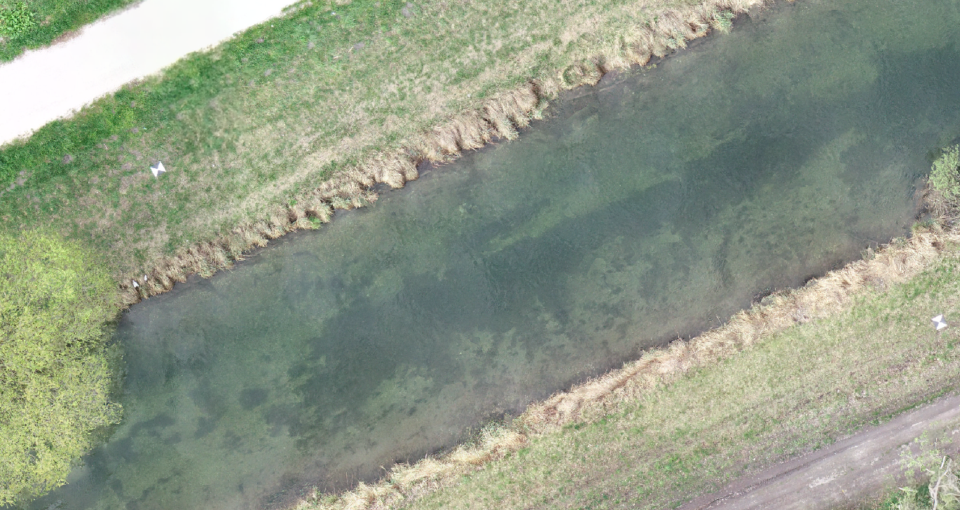
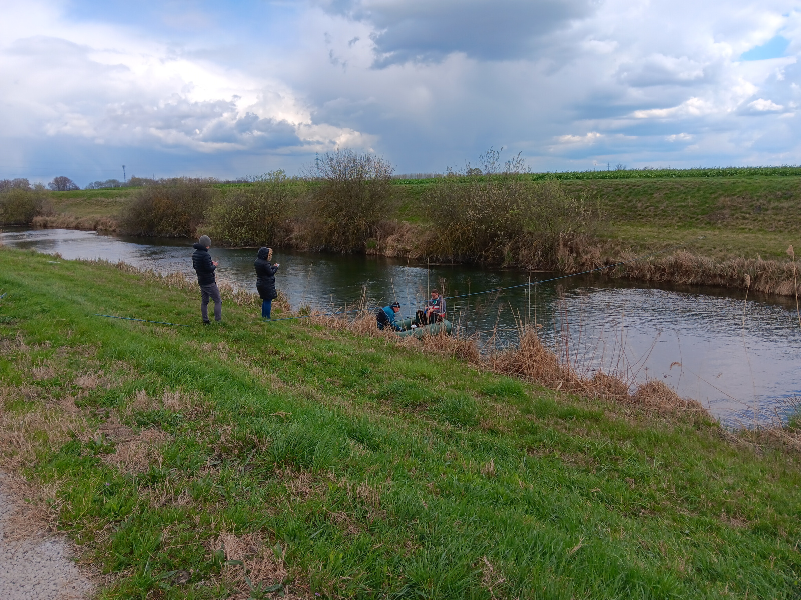
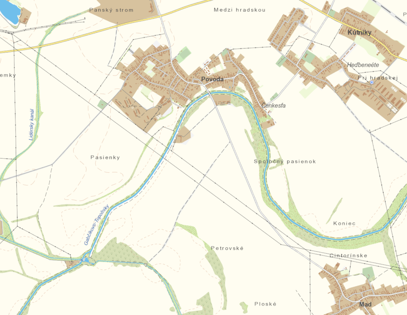
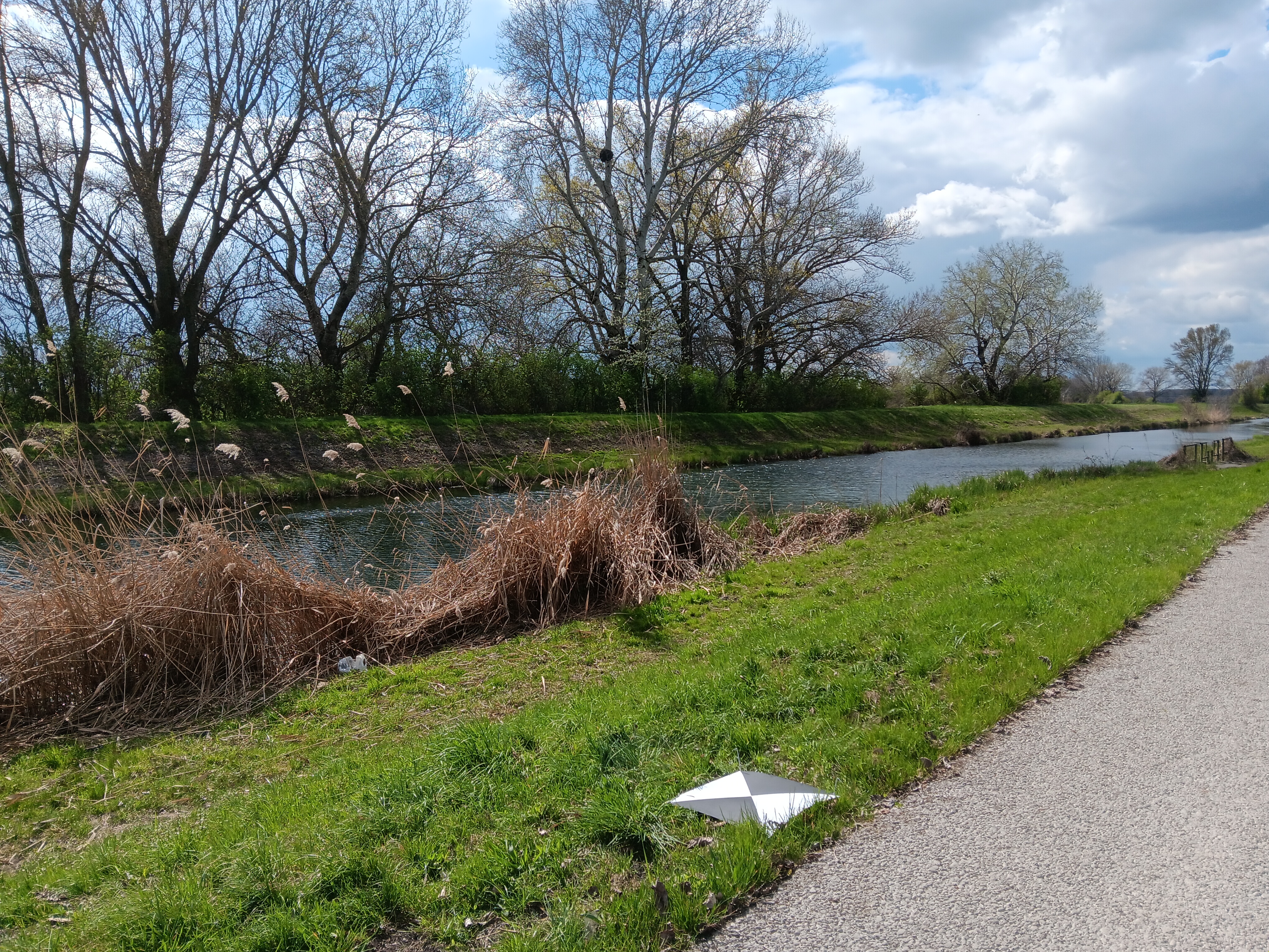
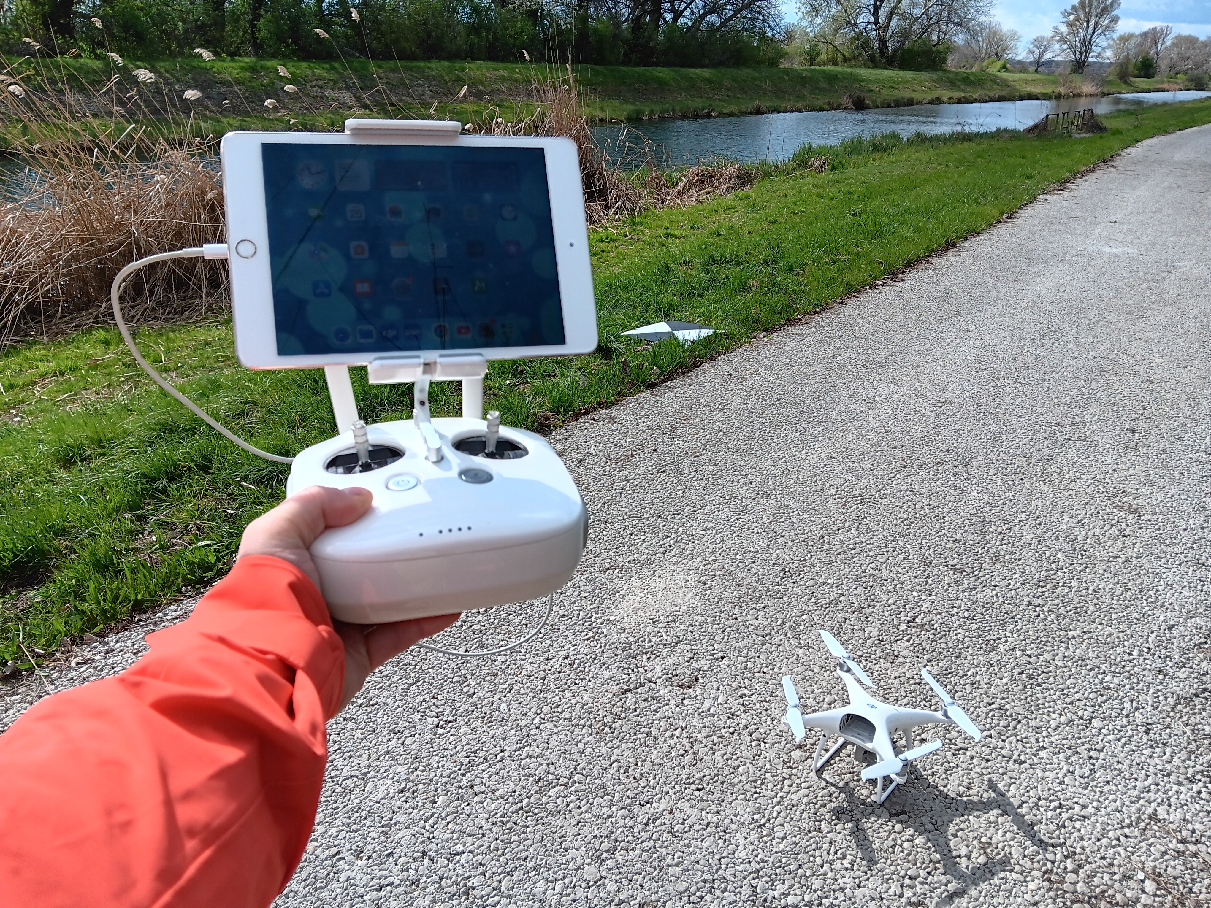
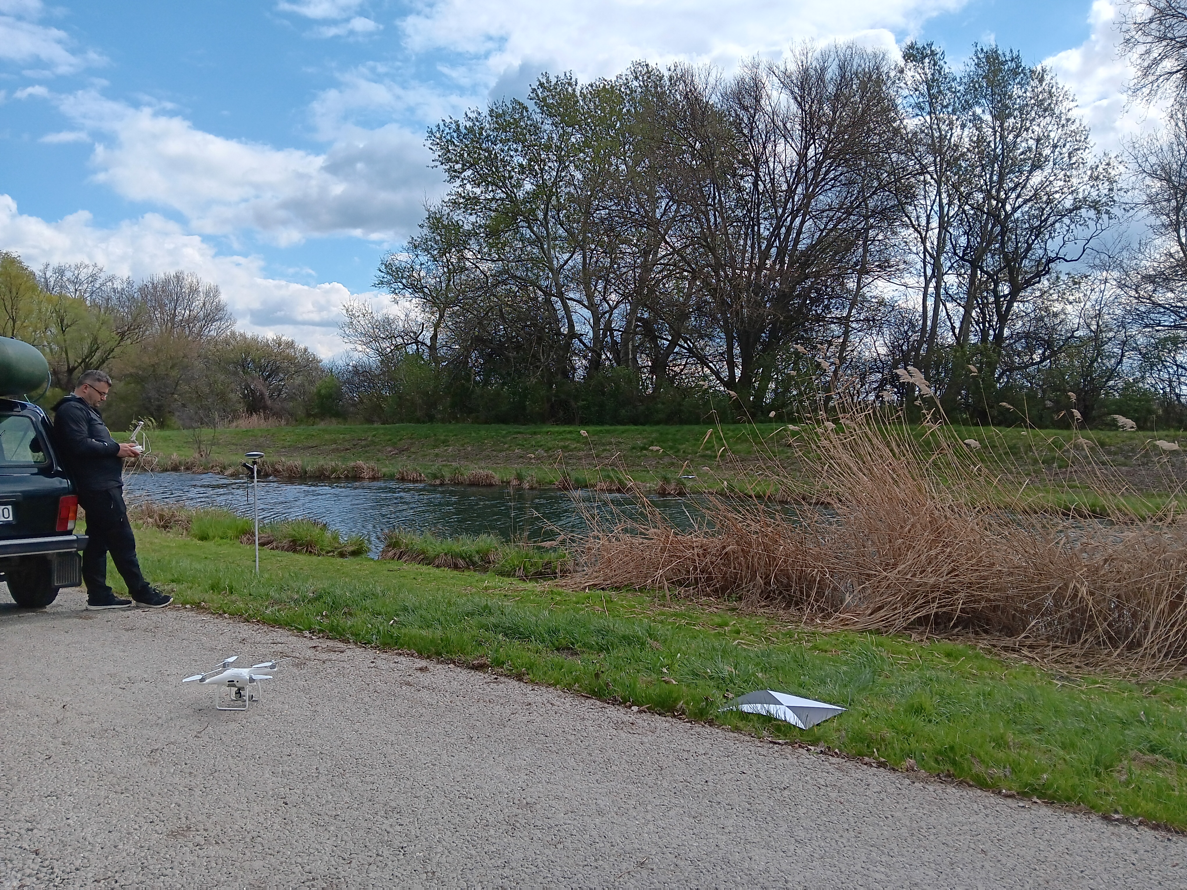
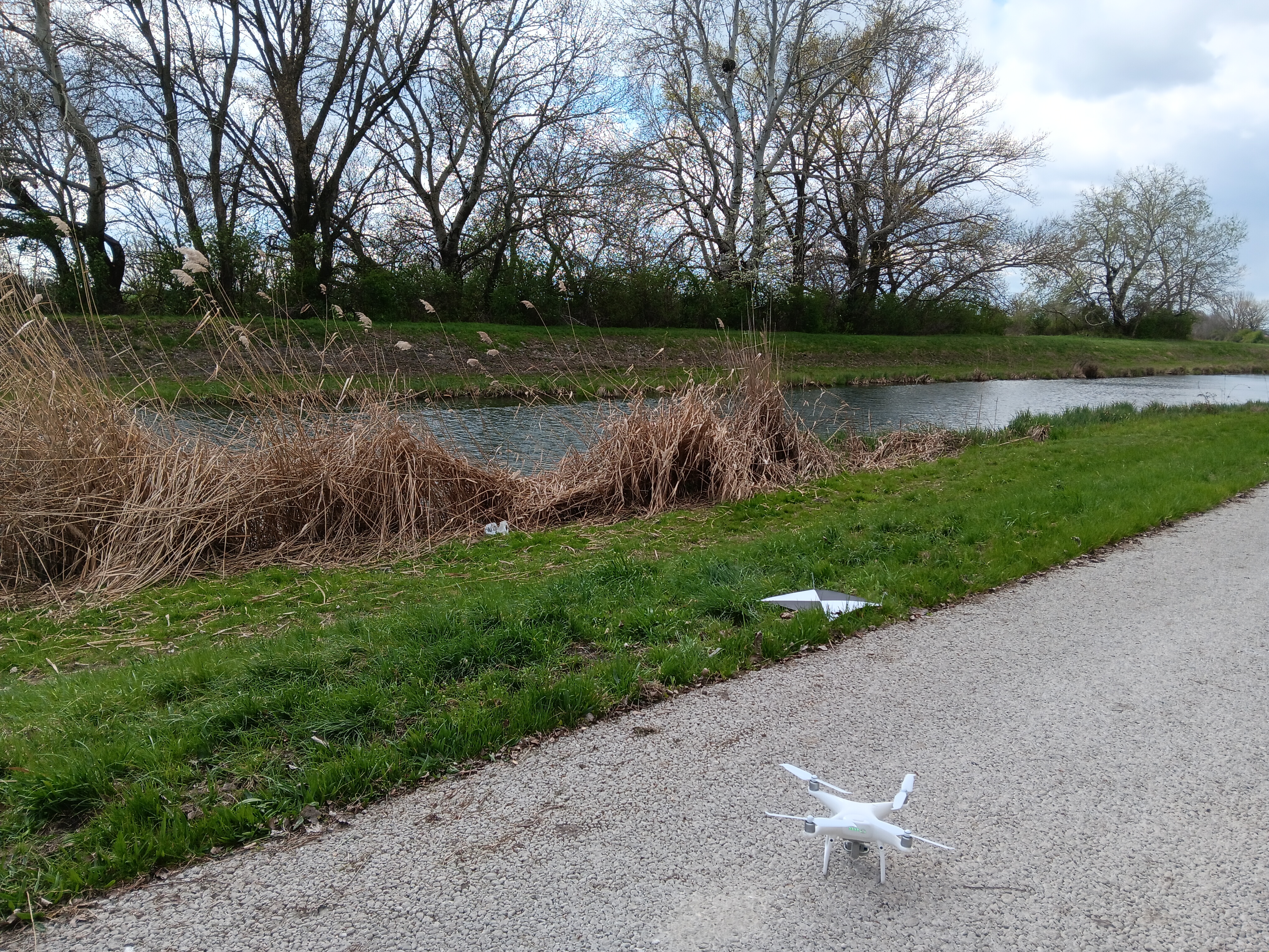
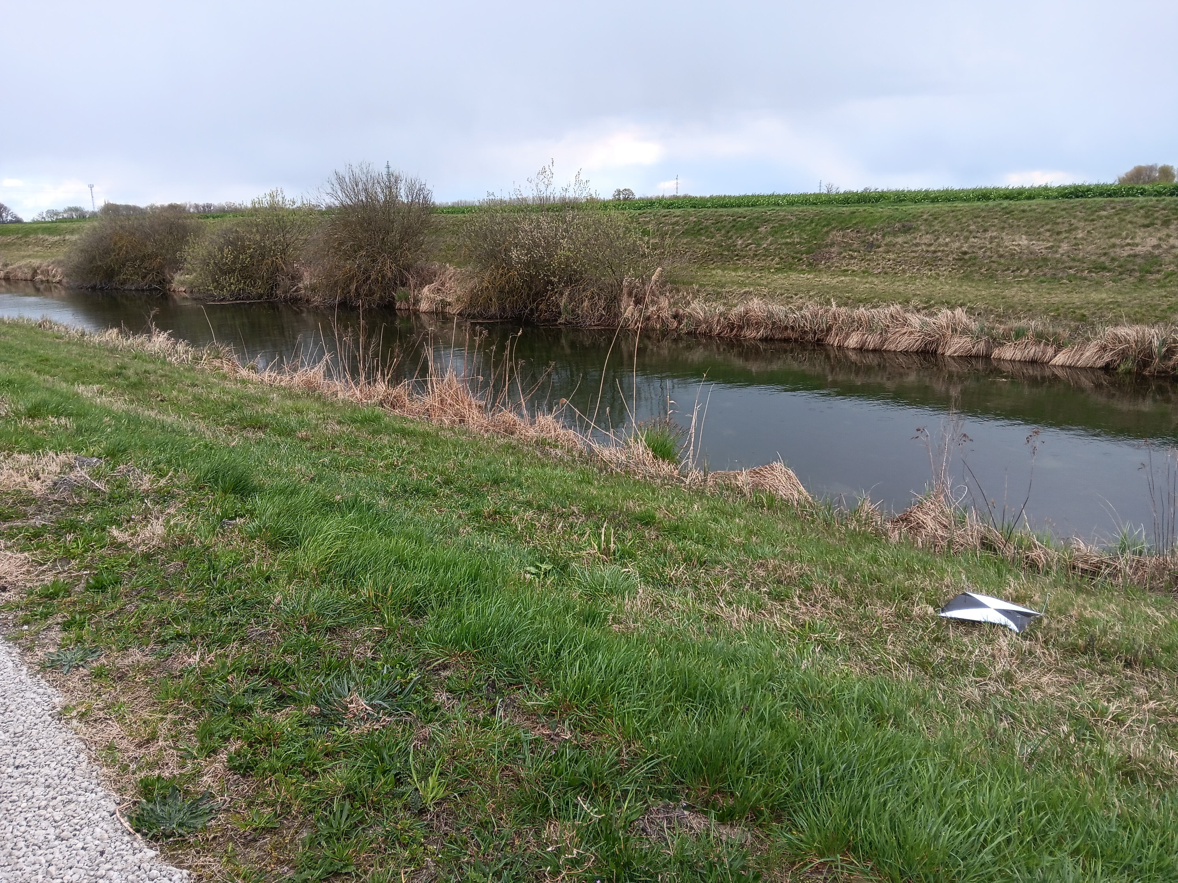
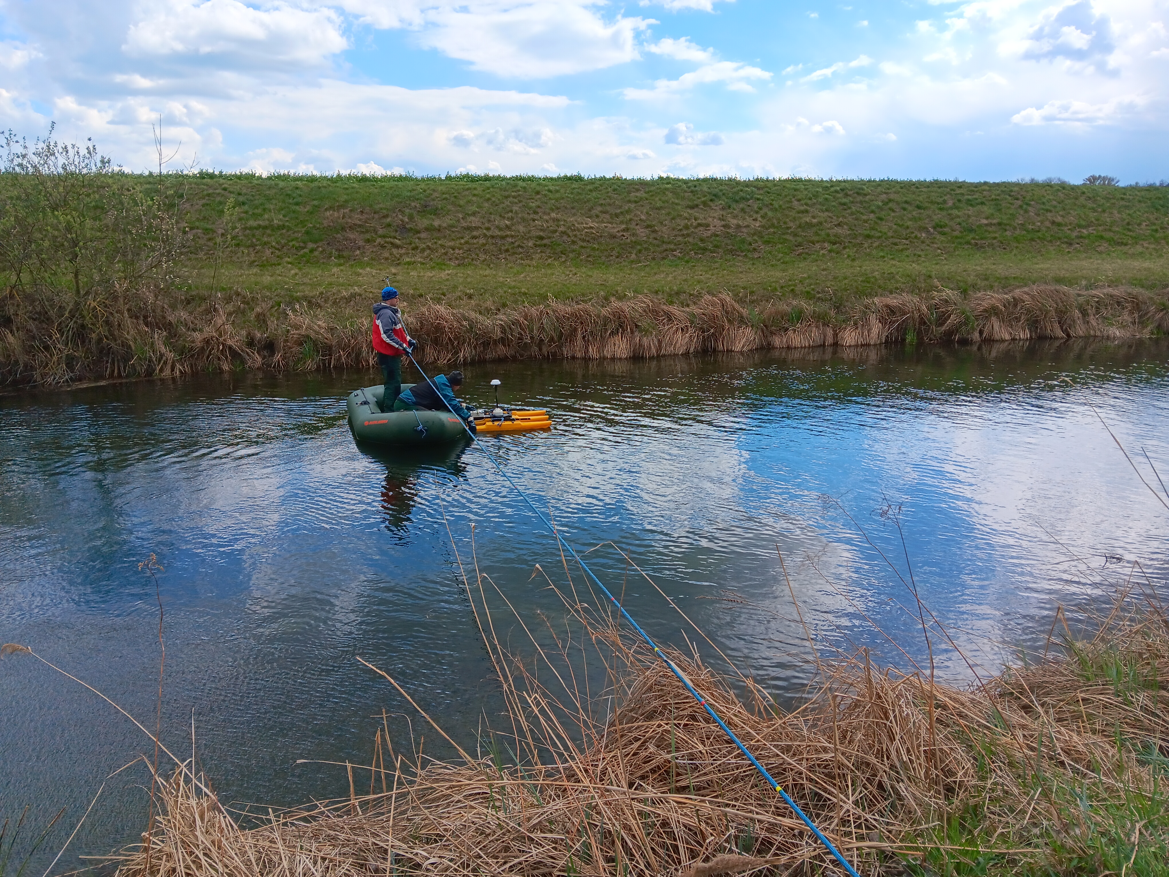
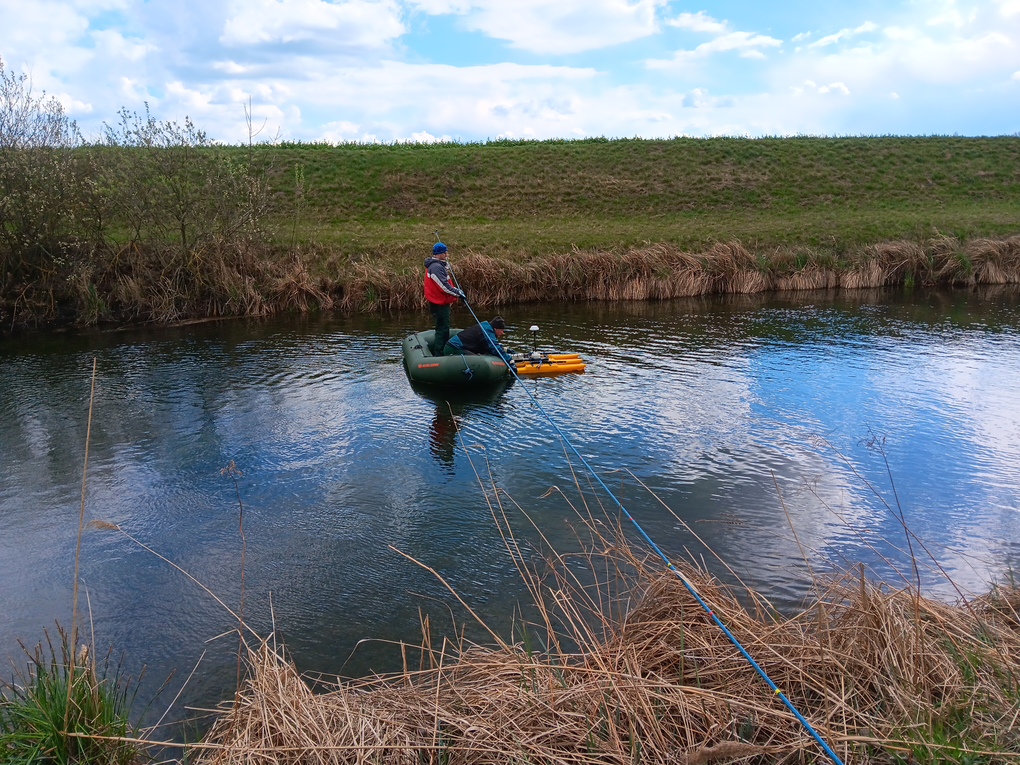
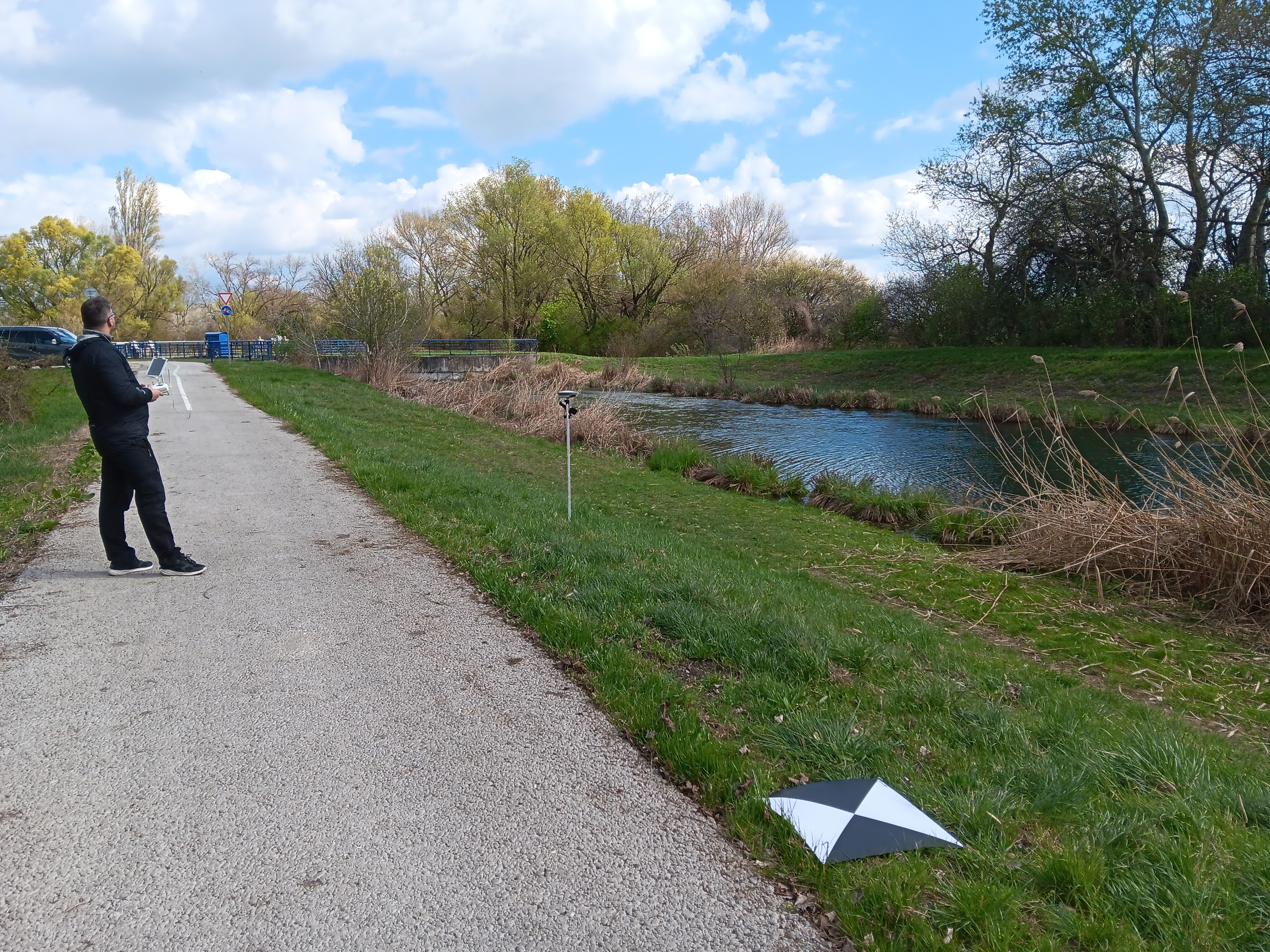
Our colleagues from the Department of Physical Geography, Geomorphology and Natural Hazards, colleagues from the Institute of Hydrology of the Slovak Academy of Sciences and Assoc. Prof. Ján Kaňuk, PhD. from the Institute of Geography of UPJŠ Košice, participated in the field survey of the Gabčíkovo-Topoľníky canal. The aim was to create a 3D model of the surroundings and the channel itself below the water surface, focusing on the amount of vegetation below the water surface. For this purpose, they used UAVs, among others.