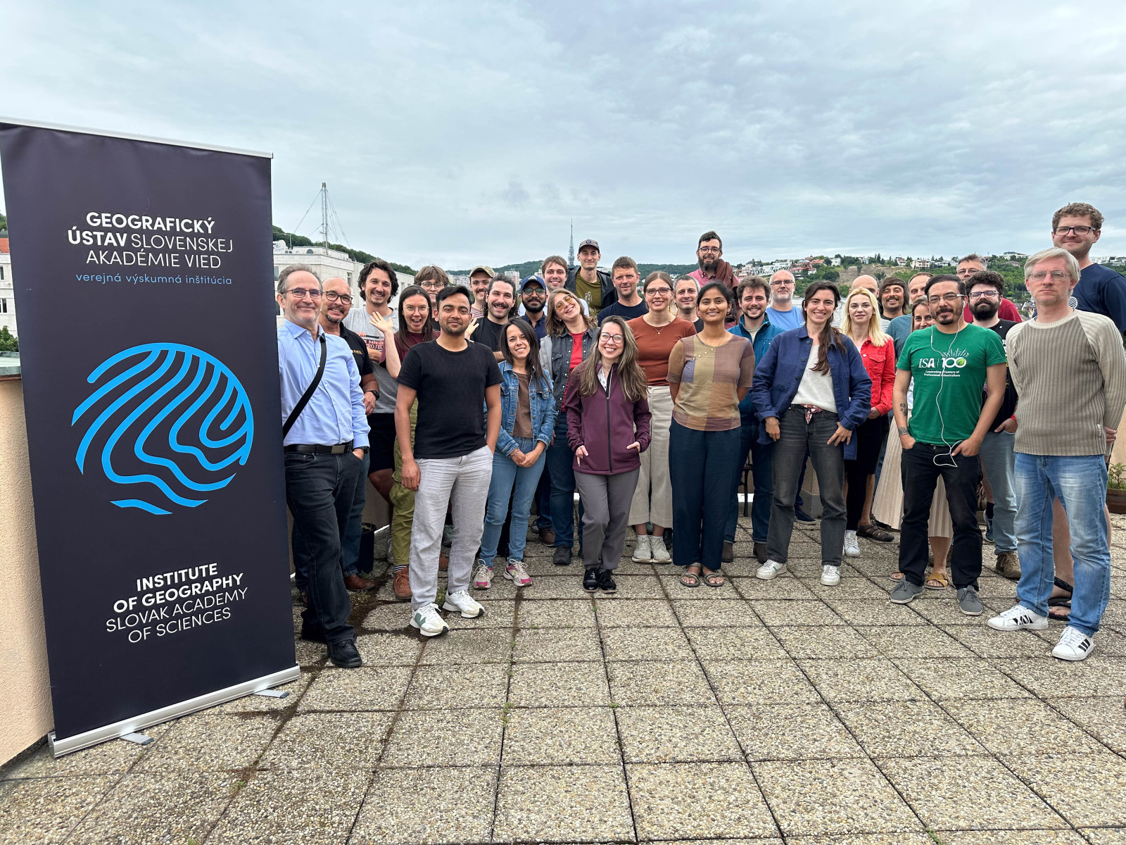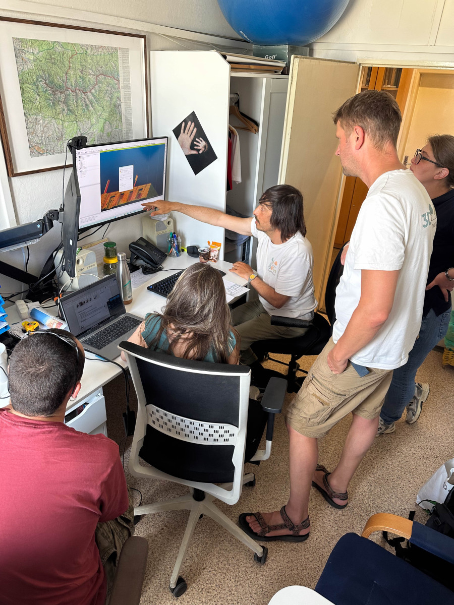




The international 3D Urban Tree Intelligence Hackathon took place in Bratislava in June 2026. The event focused on the use of 3D data, laser scanning and artificial intelligence in urban tree monitoring and green space management. It was organised by the Institute of Geography of the Slovak Academy of Sciences within COST Action CA23148 INTUF – Urban Forestry Network.
The original press release is available on the website of the Slovak Academy of Sciences.
The hackathon tested how modern 3D technologies can support tree inventories, measurements of tree height, crown structure and trunk diameter, condition assessment, maintenance planning and the long-term protection of urban green infrastructure.
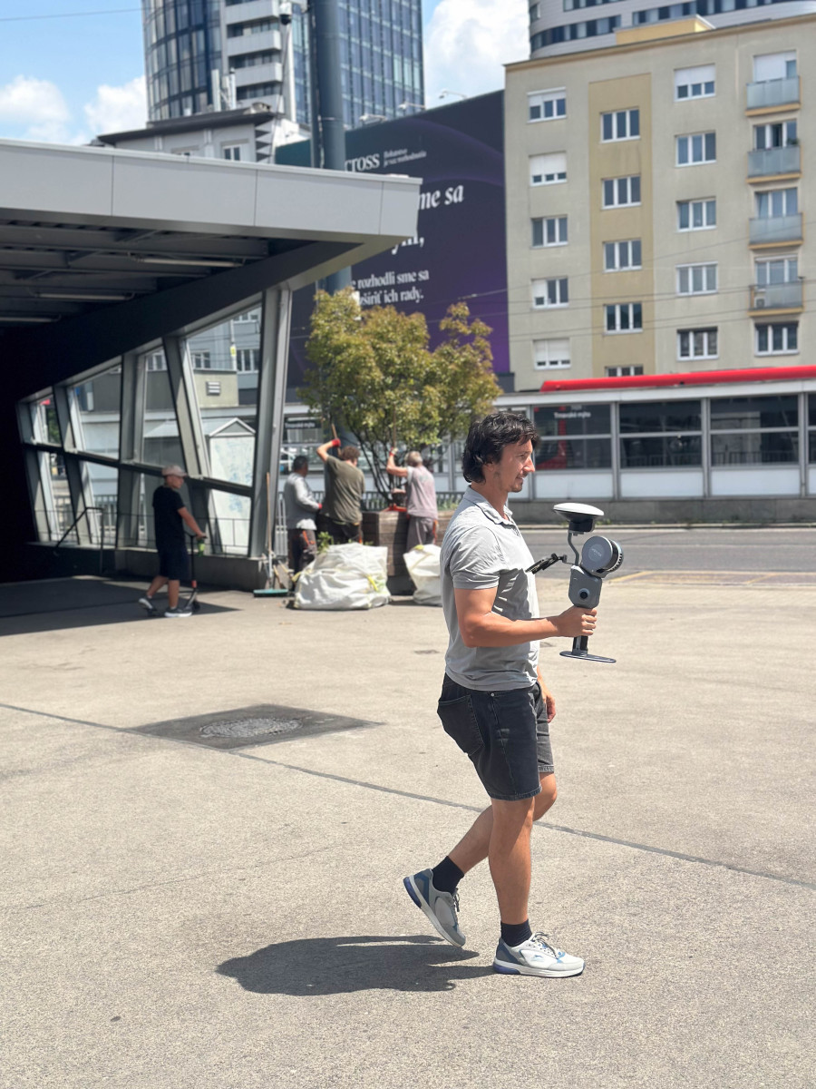
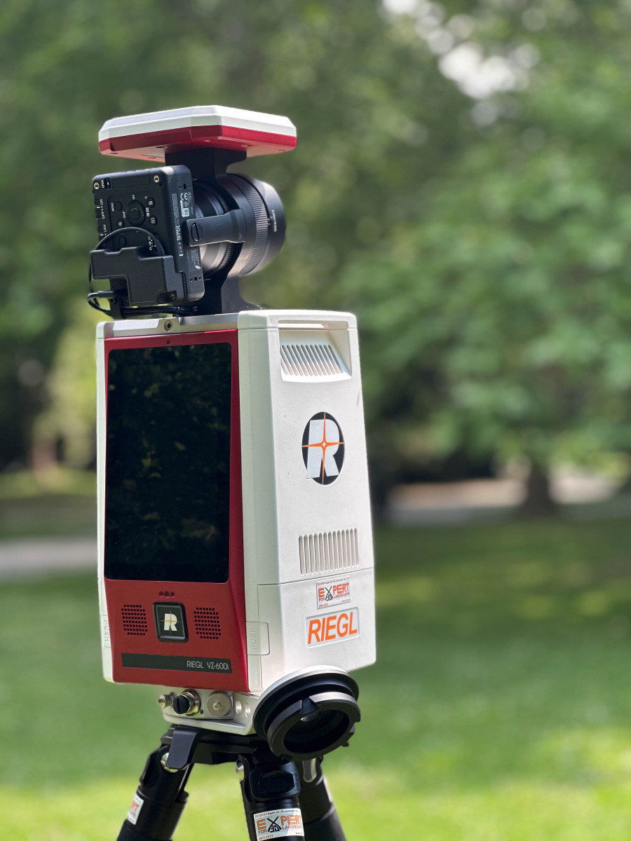
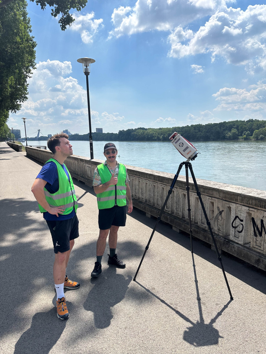
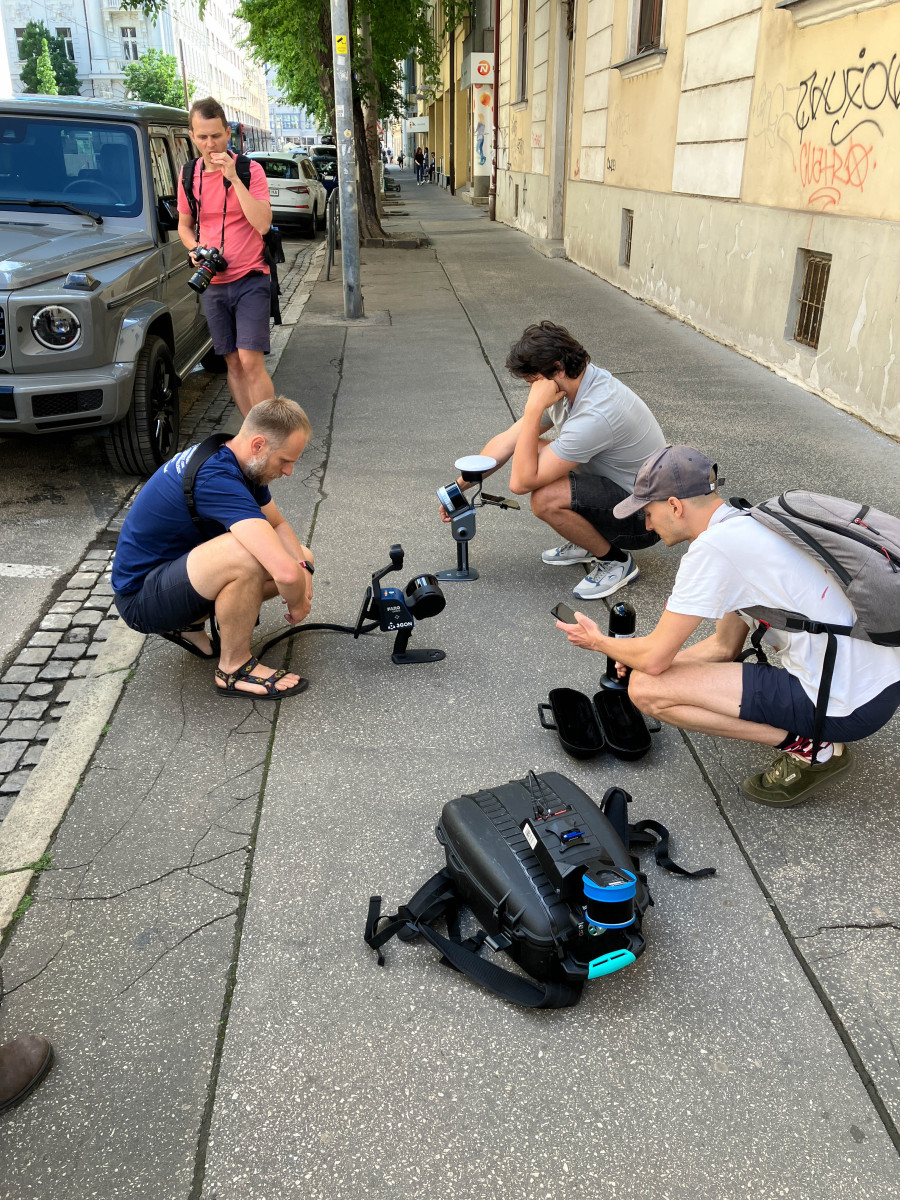
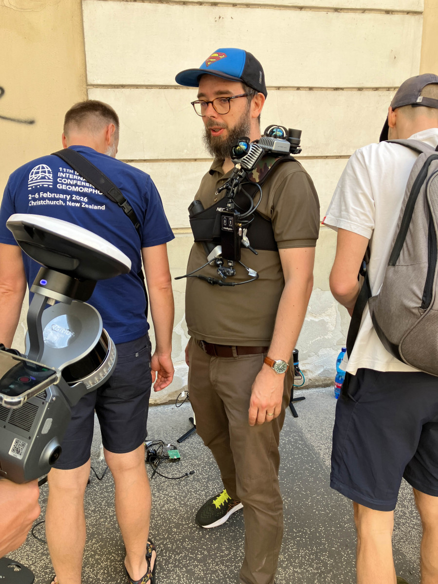
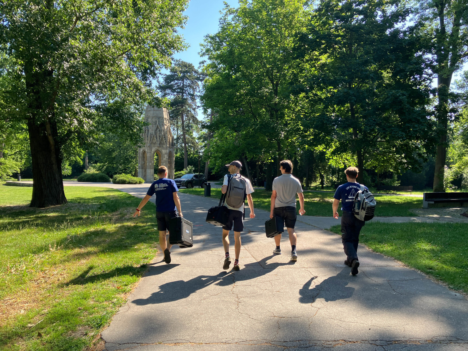
Participants worked at 17 sites across Bratislava, covering street trees, parks, riverfront areas and other complex urban environments. During the first two days alone, they collected data on more than 700 trees and tested approximately 28 different laser scanning systems.
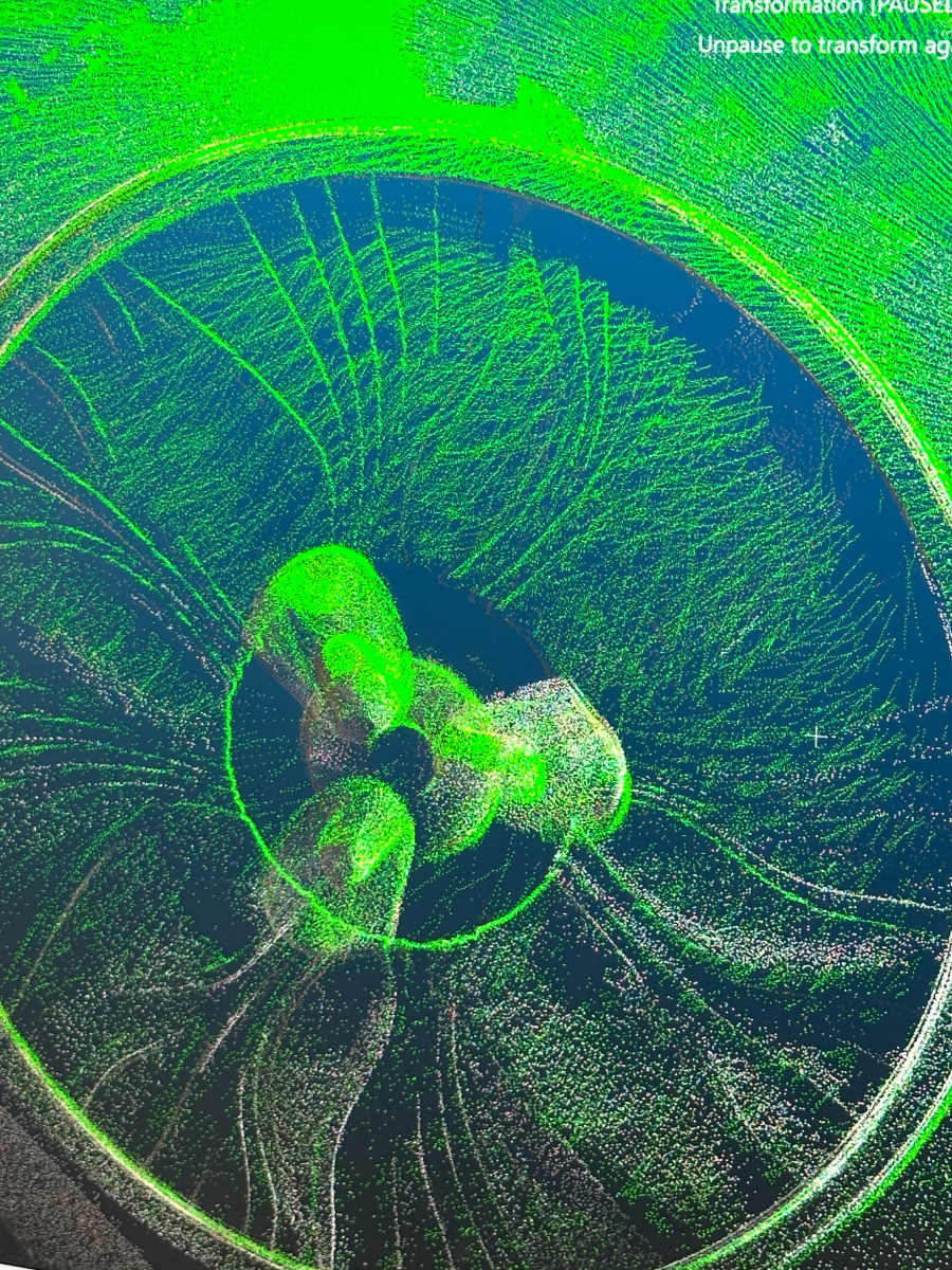
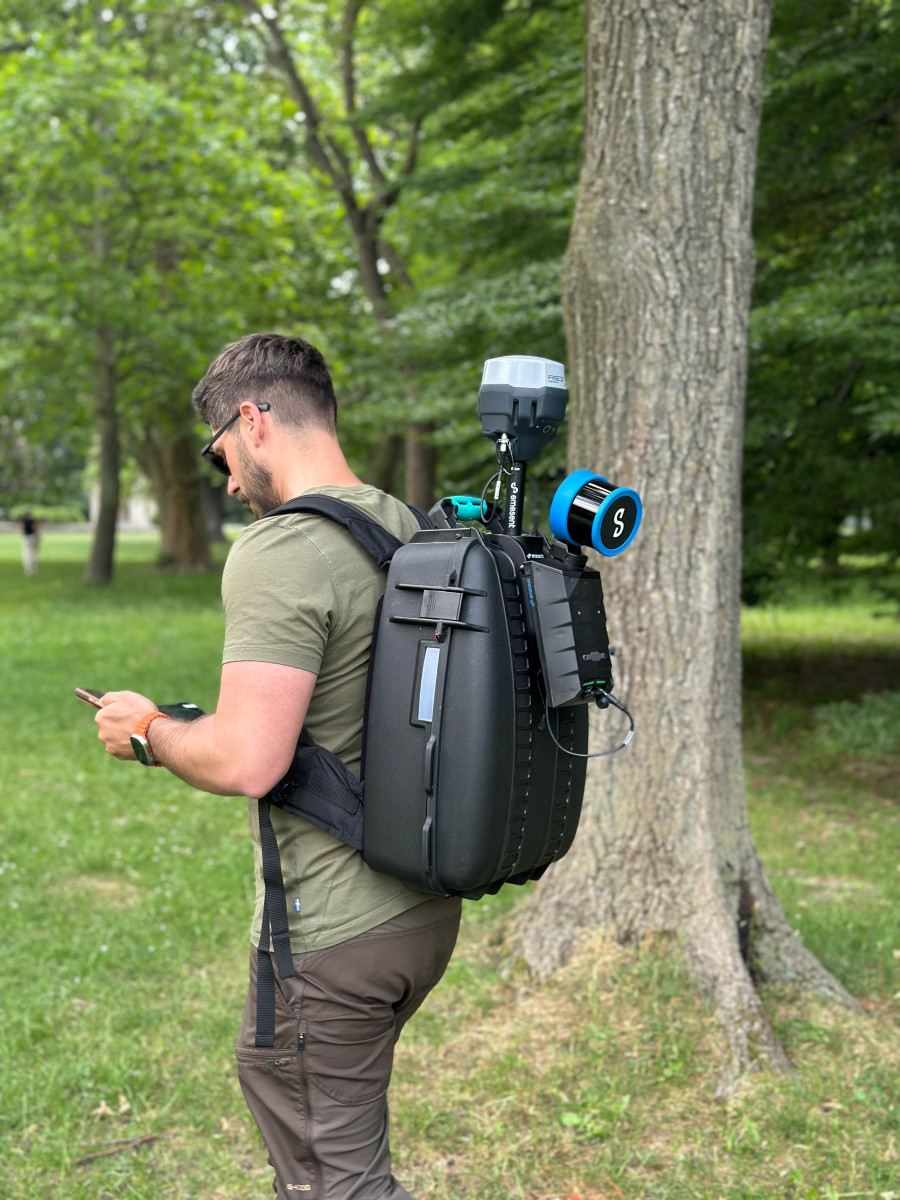
The tested technologies included terrestrial, handheld, mobile, vehicle-mounted, backpack-based and low-cost laser scanning solutions. The field campaign produced approximately 3 TB of data, which will now be processed and used to compare the performance and practical applicability of the individual systems.
“Urban green space can no longer be managed on the basis of estimates alone. If we want to plan planting, maintenance and tree protection effectively, we need accurate and comparable data. 3D technologies allow us to understand trees not only as points on a map, but as living infrastructure with a measurable height, crown, volume and relationship to the surrounding city,” says Tomáš Goga from the Institute of Geography of the Slovak Academy of Sciences.
The event involved broad participation from Slovak academic institutions, private companies and technology providers, as well as experts from across Europe and beyond. Researchers, geoinformatics specialists, software developers, urban forestry professionals and representatives of local government worked together throughout the week.
Participants came from Slovakia, Germany, the United Kingdom, Spain, Finland, Belgium, Poland, Italy, France, Czechia, Uruguay and other countries. Technologies, expertise and data were also provided by companies including RIEGL, CEDA, Geotech, Photomap, Mandeye, Xplore4D, Expert for Landscape and Lidaretto.
The City of Bratislava was an important partner of the event. Its involvement made it possible to test the technologies in real urban conditions and to connect scientific research with the practical needs of city authorities responsible for urban green space.
Accurate information about tree location, size, crown structure and condition can help municipalities improve tree inventories, plan maintenance, assess vitality, protect existing vegetation and strengthen climate change adaptation.
Martin Mokroš from University College London, the scientific coordinator of the hackathon, explains: “The objective was to collect data at all 17 sites during the first two days, and we achieved that. Field testing inevitably reveals technical and operational challenges, but that is exactly why these events are important. They allow us to analyse what works, what does not and which technologies are most suitable for different urban conditions.”
The resulting Bratislava dataset has also attracted international interest, including interest from Google Research in the development of artificial intelligence methods for mapping trees outside forest environments.
The data and experience gained during the hackathon will support the development of practical recommendations, processing workflows, video tutorials, software tools and scientific publications. The next stage will focus on detailed data processing and comparison of the tested technologies.
The project team aims to develop outputs that can be used not only by researchers, but also by municipalities and urban green space managers. Bratislava has therefore become an important real-world test environment for emerging approaches to urban tree monitoring.
Read the detailed technical report from the event
Prepared by: Tomáš Goga, Institute of Geography of the Slovak Academy of Sciences, and Martin Mokroš, University College London
Photo: Tomáš Goga