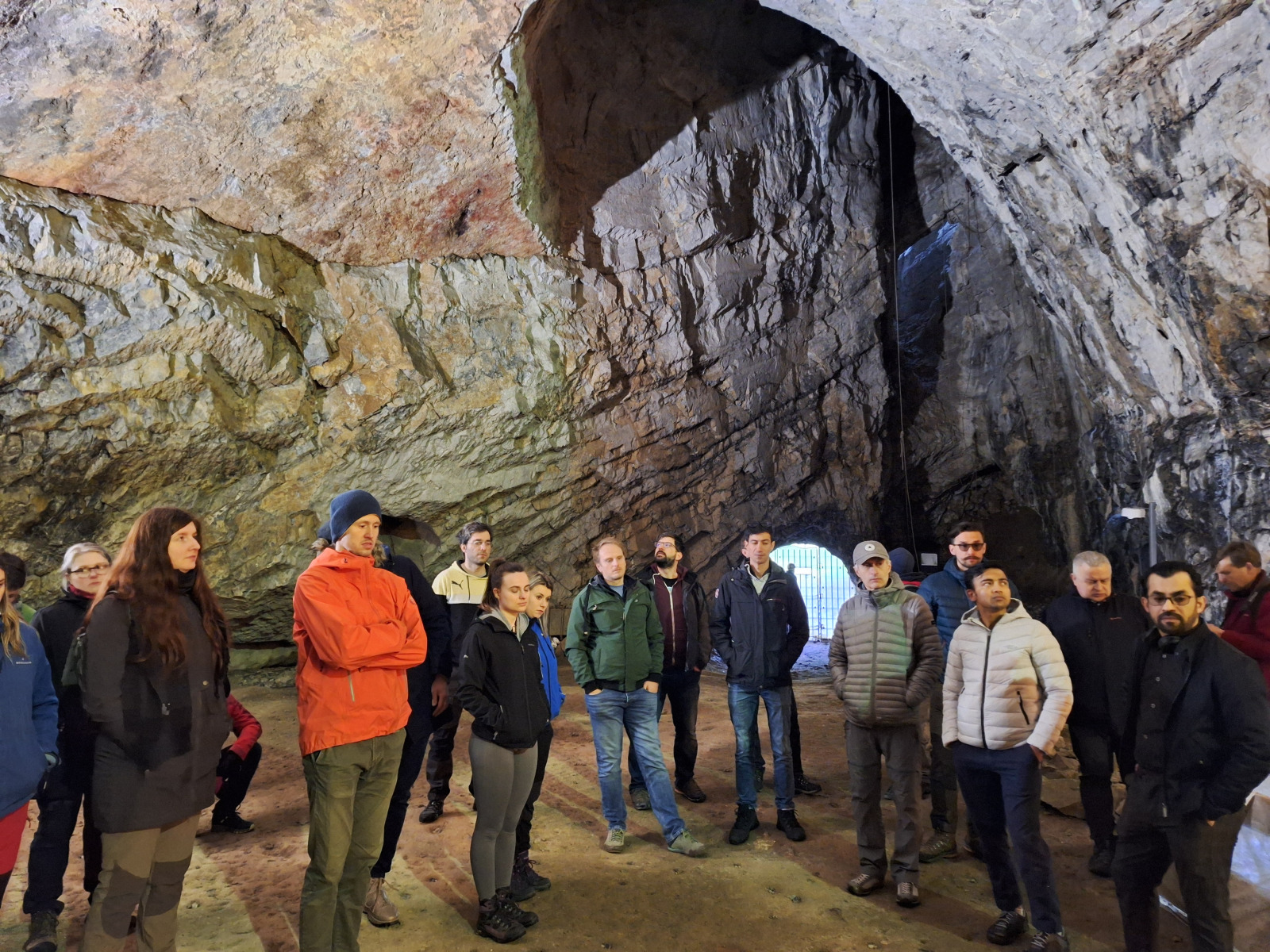
The 22nd annual conference of the Czech Association of Geomorphologists, „State of Geomorphological Research in 2024“ was held in Křtiny on 24-26 April 2024.
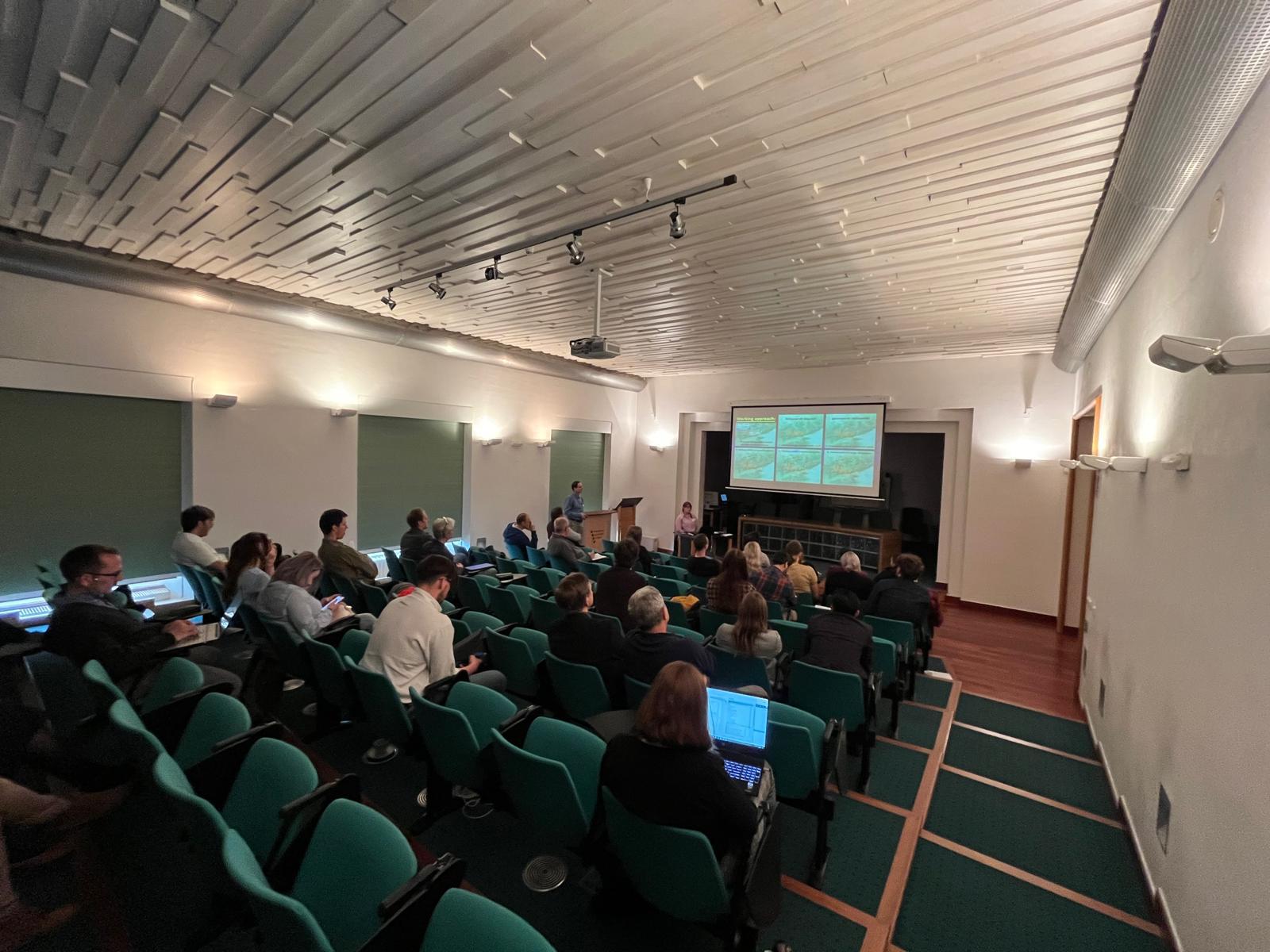
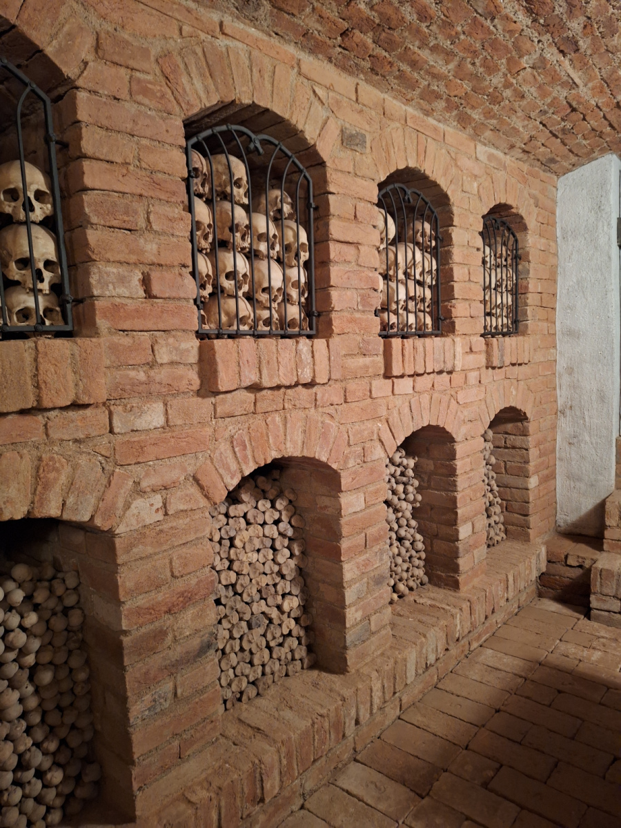
Around 60 participants made their way to this well-known pilgrimage destination near Brno. The conference was held in the atmosphere of the local Baroque castle, the former residence of the Premonstratensian Order and currently serves as a congress centre of the Mendel University in Brno. After the conference’s opening, the competition’s results for the best student theses were announced. This was followed by an invited lecture by Daniel Nývlt from the Masaryk University in Brno, who leads the Czech Antarctic Science Programme and, in his presentation, introduced the issue of palaeoclimatic research at the Czech Johann Gregor Mendel Scientific Station. The first day was enriched by a visit to the local pilgrimage church and ossuary.
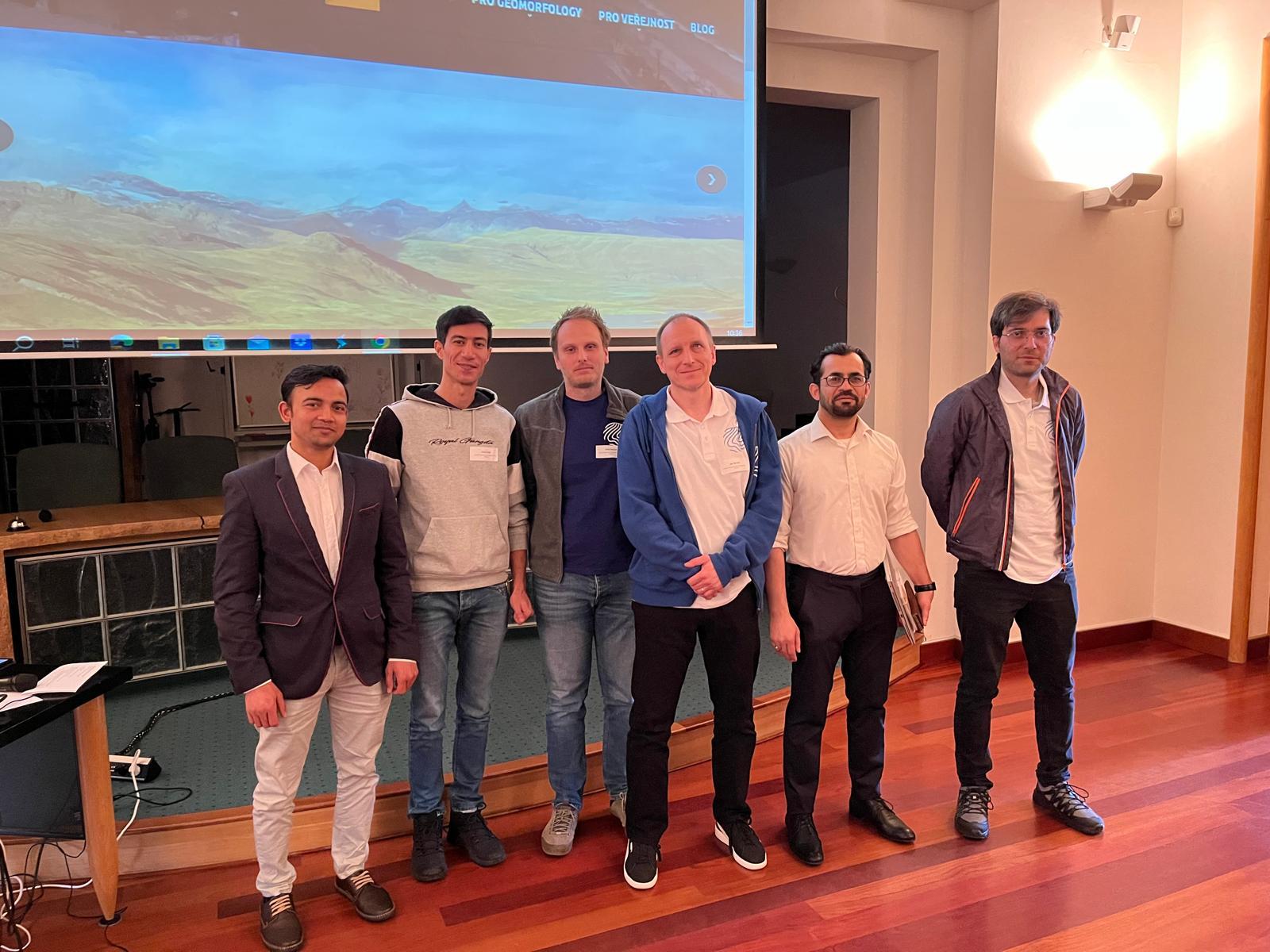
The Institute of Geography of the Slovak Academy of Sciences was represented by a rather large number of participants. In the plenary sessions, Hamid Afzali spoke about the automated detection of riparian vegetation changes, Akhtar Zeb Khan presented a contribution on the consequences of the Belá River channel modifications, Ján Novotný outlined the geotourism and educational potential of the area surrounding the Tatra Mountains and Miloš Rusnák presented a lecture on the methodology of research on watercourse degradation. In the poster session, Soheyl Moradi presented the fluvial flood hazard assessment issues and MD Ashraf hydrogeomorphological research and morphometric analysis of small catchments.
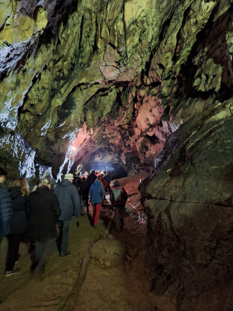
The last day of the conference was devoted to a field trip to the Býčí skála Cave, which is the second-longest cave system in the Czech Republic and a world-famous archaeological site.
Abstracts from the conference are available online or in the gallery below.
Riparian Vegetation Change Detection Using Random Forest Along the Danube Side Arms
Miloš Rusnák, Hamid Afzali
Riparian zones provide many principal functions and benefits for biodiversity, stabilizing channel banks, and preserving aquatic ecosystem integrity. This research focuses on satellite imagery analysis for assessing vegetation change in riverine landscapes, crucial for effective environmental management and conservation. Multi-temporal Landsat and Sentinel-2 images from 2004 to 2022 were acquired from Google Earth Engine (GEE) and processed using Sklearn and SciPy Python libraries, involving normalization, dimensionality reduction, and feature extraction. Various band compositions, textural, spectral, and morphological features were used for classification model.
The Random Forest (RF) algorithm was optimized through Grid Search and assessed via fivefold cross-validation to ensure robust classification model. RF feature importance was measured for all band compositions to assign the more informative features all over the datasets. Results demonstrate effective feature combinations for classifying satellite datasets, with Shortwave Infrared and vegetation indices-related features deemed significant by Random Forest feature importance analysis. Overall accuracies consistently exceeded 85%, affirming the robustness and high performance of the methodology for vegetation analysis, mapping, and monitoring in riparian zones.
This research was supported by the Science Grant Agency (VEGA) of the Ministry of Education of the Slovak Republic and the Slovak Academy of Sciences (02/0016/24).
Geomorphic Assessment of Discharge potential to identify areas more vulnerable to erosion after River Training, A case study of the Belá River
Akhtar Zeb Khan, Anna Kidova
In the context of river restoration, ‘river training’ refers to the loss of geomorphic diversity and hydro-morphological lateral continuity, and vice versa. Human-induced disruption, combined with the current climate change scenario, has had a substantial impact on the river’s natural equilibrium. As a result, these disruptions emphasize the urgent need for river restoration initiatives to maintain the natural equilibrium of European rivers. Geomorphic recovery is a crucial objective in river restoration, encompassing the revitalization of the river’s morphology and processes. This study focuses on the 1D discharge potential of the multi-thread, braided-wandering Bela River, belonging to the highly protected areas of Natura 2000. The research is prompted by ongoing fluvial processes following river training in 2018. The chosen methodology aims to highlight the current geomorphic processes in the disturbed reaches of the braid-plain and floodplain area and their influences on ecological succession. Additionally, it will also evaluate the hydro-morphological response of the studied river system to the assorted disturbances via Remote Sensing (RS), Geographic Information System (GIS), and field investigations framework. The methodology employed in research offers valuable insights into the dynamic river system, thereby facilitating the foundation for well-informed decision-making in future river restoration projects.
The Random Forest (RF) algorithm was optimized through Grid Search and assessed via fivefold cross-validation to ensure robust classification model. RF feature importance was measured for all band compositions to assign the more informative features all over the datasets. Results demonstrate effective feature combinations for classifying satellite datasets, with Shortwave Infrared and vegetation indices-related features deemed significant by Random Forest feature importance analysis. Overall accuracies consistently exceeded 85%, affirming the robustness and high performance of the methodology for vegetation analysis, mapping, and monitoring in riparian zones.
This research was supported by the Science Grant Agency (VEGA) of the Ministry of Education of the Slovak Republic and the Slovak Academy of Sciences (02/0016/24).
Geotouristic and educational potential of the geosites in the Podtatrze Area
Ján Novotný, Anna Chrobak-Žuffová, Anna Delekta, Joanna Fidelus-Orzechowska, Vladimír Székely, Daniel Michniak
The region of the Podtatrze is a bordering area surrounding the Tatra Mts., which includes four historical and cultural regions: Podhale, Orava, Liptov and Spiš. This area is also characterized by a long tradition associated with tourism, which is largely based on visiting the most famous and most promoted places, therefore the phenomenon of the overtourism is observed here. This contribution summarizes the recently completed IVF project, the main objective of which was to evaluate the tourist potential of the geosites in the surroundings of the Tatra Mts., with the vision of diverting at least some of the tourist flows away from the most visited places. The research within the project was conducted on three levels: 1) Inventory and evaluation of the geosites; 2) In-depth interviews with representatives of local stakeholders (municipalities, national parks, entrepreneurs, NGOs); 3) Questionnaire survey among geography teachers. Results confirmed the high educational and natural value of the analyzed geosites and in most cases a positive attitude of local authorities towards the development of new forms of tourism in their region.
Acknowledgement: The paper was created as part of the scientific project no. 2/0052/21 financed by the Slovak VEGA Grant Agency.
Combining multi-BACI approach, LiDAR data, historical aerial photographs and UAV survey for inferring multi-decadal and ongoing channel degradation
Miloš Rusnák, Ján Kaňuk, Anna Kidová, Milan Lehotský, Hervé Piégay, Ján Sládek, Lukáš Michaleje
This paper presents the degradation evolution of this multi-channel river system since 1949 based on analyses of floodplain surface heights above the river channel, dated from historical aerial images. The study applied the BACI (Before-After-Control-Impact) approach that compared pre-state (Before), post-state (After) and reach (Control) that is not affected by potential external effects with degraded (impacted) reach. This paper presents an innovative approach to assess the degradation evolution of a multi-channel river system since 1949 by LiDAR-based analyses of floodplain surfaces above the river channel dated from historical aerial images. Analyses of floodplain heights and cross-section changes indicate that the maximum incision rate (5.7 cm/year) occurred in the most degraded reach. Moreover, our analyses point to accelerated incision (24.5 cm/year) in the last ten years (2011-2021). Overall, the 573,303 m3 of gravel sediments constituted outwash from the channel system. River system degradation here is connected with channel regulation of the downstream part, comprising embankment and gravel mining activities that activated a naturally conditioned knickpoint into a backward erosion system with knickpoint migration upstream.
This research was supported by the Science Grant Agency (VEGA) of the Ministry of Education of the Slovak Republic and the Slovak Academy of Sciences (02/0016/24).
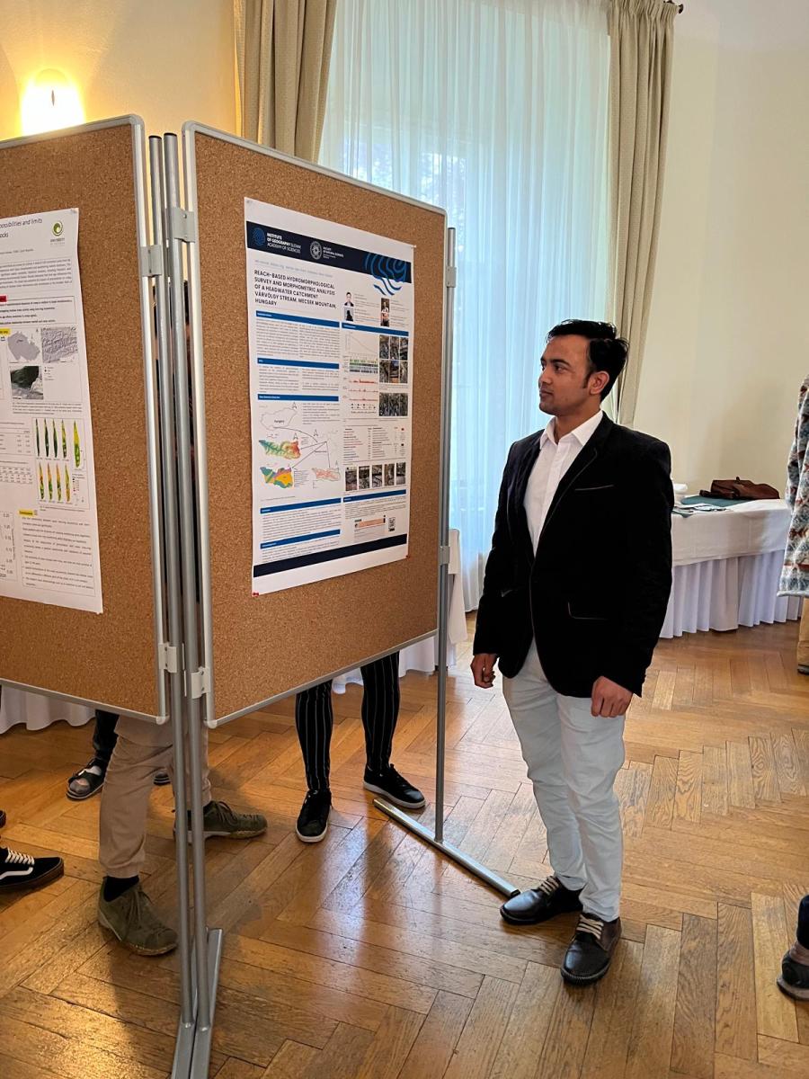
Reach-based hydromorphological survey and morphometric analysis of a headwater catchment Várvölgy stream, Mecsek Mountain, Hungary
MD Ashraf, Balázs Víg, Akhtar Zeb Khan, Szabolcs Ákos Fábián
This study investigated the interaction between geological, geomorphological, and anthropogenic factors on fluvial processes, specifically the morphology of the channel facilitated by woody debris. To achieve this, cartographic resources, digital elevation models, and field data collected using field survey protocol for the hydromorphological survey. Out of the 103 segments measuring fifty metres each that were examined, it was seen that 72 of them had significant accumulations of woody debris, which had a noticeable impact on the morphology of the channel. The identification of step systems and transitional zones, primarily observed in the upper course of streams because of distinct geological characteristics, contributes intricacy to our comprehension. The results shed light on the complex hydrogeomorphic characteristics of tiny, low-gradient drainage basins and emphasise the strong reliability of our methodology in regions with low mountainous terrain.
Finally, we are grateful to the VEGA agency for funding this research under the grant number 2/0016/24.
GIS-Based fluvial flood hazard assessment: A case study of the Gidra river basin municipalities
Soheyl Moradi, Matej Vojtek
The aim of this study is to assess the fluvial flood hazard in municipalities of the Gidra River Basin using the indicator-based approach and geographic information systems (GIS). A composite fluvial flood hazard index (FFHI) was calculated for twelve municipalities whose urban area is completely or partially located in the basin and at the same time a watercourse, belonging to the Gidra River Basin, flows through the municipality. The FFHI was composed of three components: fluvial flood potential index (FFPI), flood frequency, and share of hydraulically modeled flood extent for Q100 on the extent of analyzed municipality. The FFPI was calculated based on six physical-geographical indicators (lithology, slope, curvature, maximum 5-day rainfall, river density, soil texture) and land use/cover indicator. The final FFHI was calculated as an aggregation of the normalized values of FFPI, flood frequency, and share of hydraulically modeled flood extent for Q100 on the extent of analyzed municipality using the equal weighting. The highest values of the FFHI were recorded in municipalities of Píla, Cífer, Jablonec, and Budmerice, which are located in central and upper parts of the basin.
This research was supported by the VEGA agency under the grant number 2/0016/24 and grant number 1/0103/22.